
Search
Did you mean: Bes?
Remove Ads
Advertisement
Search Results

Image
The Iberian Peninsula, c. 1000 CE
A map of the Iberian peninsula c. 1000 CE showing the divide between the Muslim Caliphate of Cordoba in the south and the Christian kingdoms in the north.

Image
Map of the Goryeo Empire (11th century CE)
A map of the territory controlled by the Goryeo Dynasty of Korea in the 11th century CE. The Goryeo reigned from 918 to 1392 CE.
Image
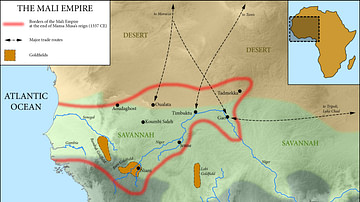
Map of the Mali Empire, c. 1337 CE
A map of the Mali Empire (1240-1645 CE) at its peak c. 1337 CE after the reign of Mansa Musa (1312-1337 CE).

Video
Early Muslim Expansion - Conquest of Syria and Iraq 602-636 CE
In the new Kings and Generals full animated historical documentary, we will describe the rise of the Rashidun Caliphate, its first wars against the Eastern Roman and Sassanid Empires. This...

Video
Roger Wiliams: A Letter to the People of Providence (1655 CE)
Provided to YouTube by The Orchard Enterprises Roger Wiliams: A Letter to the People of Providence (1648) · Wallace House The Patriot Plan: Growth of Human Rights in Colonial America...

Image
Map of the Roman Empire in 125 CE
A map of the Roman Empire and Europe in 125 CE, at the time of Roman emperor Hadrian.
"Barbarian" names and locations are given as found in the works of Tacitus (written c. 100 CE).
Image
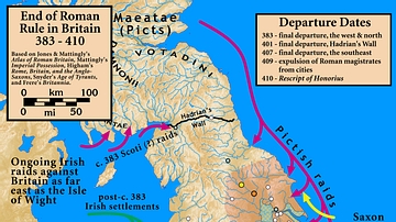
Britain 383-410 CE
Based on Jones & Mattingly's Atlas of Roman Britain; Mattingly's Imperial Possession; Higham's Rome, Britain, and the Anglo-Saxons; Frere's Britannia; and Snyder's An Age of Tyrants.
Image
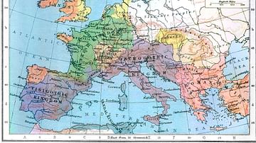
Europe in 526 CE
Europe in 526 CE.

Image
Battle of Bannockburn, 1314 CE
A map of first day of the Battle of Bannockburn (June 23, 1314 CE), waged between the forces of Robert the Bruce (r. 1306 - 1329 CE) and Edward II of England (r. 1307 - 1327 CE).

Image
Battle of Crecy, 1346 CE
An illustration of the Battle of Crécy on 26 August 1346 CE between the armies of Edward III of England (r. 1327-1377 CE) and Philip VI of France (r. 1328-1350 CE). Edward was victorious thanks to his troops' experience...
