


A map of the Iberian peninsula c. 1000 CE showing the divide between the Muslim Caliphate of Cordoba in the south and the Christian kingdoms in the north.
Related Images

Reconquista Battle Scene
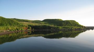
Nemuro Peninsula Chashi
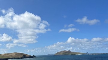
View from the Dingle Peninsula, County Kerry, Ireland

Iberian Female Offerants

The Korean Peninsula and the Japanese Archipelago, 3rd-6th century CE
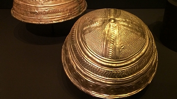
Late Bronze Age Iberian Bowls
Cite This Work
APA Style
Tyk. (2018, October 04). The Iberian Peninsula, c. 1000 CE. World History Encyclopedia. https://www.worldhistory.org/image/9298/the-iberian-peninsula-c-1000-ce/
Chicago Style
Tyk. "The Iberian Peninsula, c. 1000 CE." World History Encyclopedia, October 04, 2018. https://www.worldhistory.org/image/9298/the-iberian-peninsula-c-1000-ce/.
MLA Style
Tyk. "The Iberian Peninsula, c. 1000 CE." World History Encyclopedia, 04 Oct 2018, https://www.worldhistory.org/image/9298/the-iberian-peninsula-c-1000-ce/.

