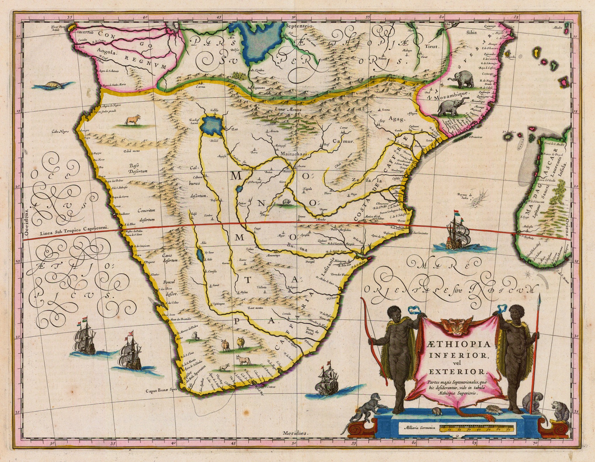
A 1635 CE map of southern Africa by Willem Janszoon Blaeu. It shows the kingdom of Monomotapa (aka Mutapa), although it inaccurately shows the kingdom's spread over a far larger area than it actually controlled around the Zambezi River.
Original image by Willem Janszoon Blaeu. Uploaded by Mark Cartwright, published on 18 March 2019. The copyright holder has published this content under the following license: Public Domain. This item is in the public domain, and can be used, copied, and modified without any restrictions. Please note that content linked from this page may have different licensing terms.


