
Server Costs Fundraiser 2026


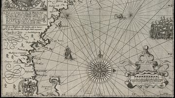
A 1665 map drawn by Johannes Vingboons of the island of São Tomé in the Gulf of Guinea in West Africa. The island was a Portuguese colony from c. 1486 to 1975. (National Archives of the Netherlands)
.jpg)
Related Images

Map of Odysseus’ 10-year Journey Home

Map of the Silk Road During the Late 8th Century

Map of Europe on the Eve of WWII, 1939

Map of the Strait of Malacca

Map of Ancient Egypt
Map of New England
Cite This Work
APA Style
Vingboons, J. (2021, May 27). Historical Map of São Tomé. World History Encyclopedia. https://www.worldhistory.org/image/14115/historical-map-of-sao-tome/
Chicago Style
Vingboons, Johannes. "Historical Map of São Tomé." World History Encyclopedia, May 27, 2021. https://www.worldhistory.org/image/14115/historical-map-of-sao-tome/.
MLA Style
Vingboons, Johannes. "Historical Map of São Tomé." World History Encyclopedia, 27 May 2021, https://www.worldhistory.org/image/14115/historical-map-of-sao-tome/.