


Map of the New Netherland colonies c. 1696 and 1701 CE, by Justus Danckerts. Collection of the Municipal Library of Trento.
Related Images
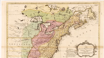
English & French Colonies in North America, 1758 CE
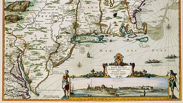
New Netherland Map
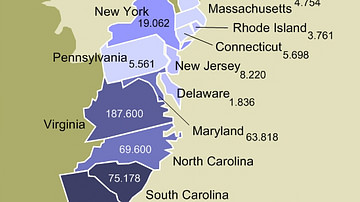
Enslaved Population of the 13 Colonies

Map of Tartessos with Phoenician and Greek colonies

Map of Southern Levant c.1200 BCE - Emerging Societies in the Early Iron Age

A Map of the Southern Continent
Cite This Work
APA Style
Danckerts, J. (2021, March 27). Map of New Netherland. World History Encyclopedia. https://www.worldhistory.org/image/13734/map-of-new-netherland/
Chicago Style
Danckerts, Justus. "Map of New Netherland." World History Encyclopedia, March 27, 2021. https://www.worldhistory.org/image/13734/map-of-new-netherland/.
MLA Style
Danckerts, Justus. "Map of New Netherland." World History Encyclopedia, 27 Mar 2021, https://www.worldhistory.org/image/13734/map-of-new-netherland/.