
Browse Content

Image
Possible Agricultural Centers in Prehistoric China
Map showing the spatial distribution of rice, millet, and mixed farming sites with a boundary of rice...
Image
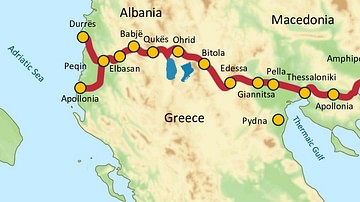
Via Egnatia, 146 BCE to c. 1200 CE
Via Egnatia was a major Roman road in the Balkans, stretching 1,120 kilometers (696 miles) from the Adriatic Sea...
Image
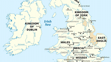
British Isles at the Beginning of the 10th Century
British Isles in 10th century represented with the coastline at the time.

Image
Map of the Silk Road During the Late 8th Century
In the late 8th century CE, the interconnected caravan routes later termed the “Silk Road” formed a...
Image
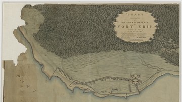
Siege and Defence of Fort Erie
Chart Illustrative of the Siege & Defence of Fort Erie. Campaign of 1814, by the War Department, Office of the Chief...
Image
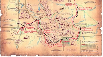
Flight of the Nez Perce and Key Battle Sites of 1877
Map of the flight of the Nez Perce toward Canada in 1877 and key battle sites of the Nez Perce War...
