
Browse Content

Video
Animated map shows how religion spread around the world
Hinduism, Buddhism, Christianity, Judaism, and Islam are five of the biggest religions in the...

Video
Roman Army Museum – Empire Map
Infographic illustrating the rise and fall of the Roman Empire and the land they controlled. Originally created...
Image
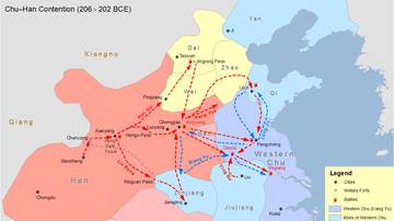
Chu-Han Contention Map
Map showing an attempted reconstruction of the movements of the troops of the Chinese Han and Chu dynasties during the Chu-Han...

Image
Map of Ancestral Puebloan Sites in US Southwest
This U.S. National Park Services map shows the major ancestral Puebloan sites in the Four Corners area...

Image
Map of Kingdom of Mercia
A map showing the greatest extent of the Kingdom of Mercia (c. 527-879 CE), an Anglo-Saxon political entity located in...
Image
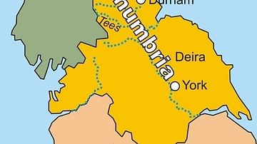
Map of the Kingdom of Northumbria
A map of the Kingdom of Northumbria (c. 604-954 CE) in the northeast of Britain c. 802 CE.
