
Server Costs Fundraiser 2026


A map showing the greatest extent of the Kingdom of Mercia (c. 527-879 CE), an Anglo-Saxon political entity located in the midlands of present-day Britain
Related Images

Map of the New Kingdom of Egypt, 1450 BCE
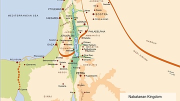
Map of the Nabatean Kingdom

Map of the Bosporan Kingdom, c.100 CE - Gateway Between Steppe, Caucasus, and Rome

Map of the Ptolemaic Kingdom of Egypt c. 240 BCE - Power, Wealth, and Rivalry in the Hellenistic World

Map of the Middle Kingdom of Egypt, c. 2000 BCE

Map of Kingdom of Axum
Cite This Work
APA Style
Rushton2010/Hel-hama. (2018, November 30). Map of Kingdom of Mercia. World History Encyclopedia. https://www.worldhistory.org/image/9620/map-of-kingdom-of-mercia/
Chicago Style
Rushton2010/Hel-hama. "Map of Kingdom of Mercia." World History Encyclopedia, November 30, 2018. https://www.worldhistory.org/image/9620/map-of-kingdom-of-mercia/.
MLA Style
Rushton2010/Hel-hama. "Map of Kingdom of Mercia." World History Encyclopedia, 30 Nov 2018, https://www.worldhistory.org/image/9620/map-of-kingdom-of-mercia/.