
Server Costs Fundraiser 2026


This U.S. National Park Services map shows the major ancestral Puebloan sites in the Four Corners area of what is now the United States of America.
About the Author

Related Images
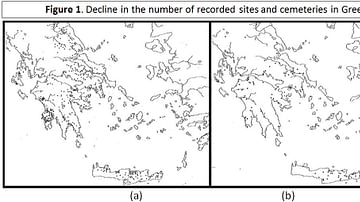
Figure 1 - Decline in the number of recorded sites and cemeteries in Greece
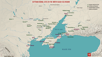
Scythian Burial Sites in the North Black Sea Region
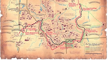
Flight of the Nez Perce and Key Battle Sites of 1877

Map of Odysseus’ 10-year Journey Home

Map of the Silk Road During the Late 8th Century

Map of Europe on the Eve of WWII, 1939
Cite This Work
APA Style
Wiener, J. B. (2019, January 11). Map of Ancestral Puebloan Sites in US Southwest. World History Encyclopedia. https://www.worldhistory.org/image/9850/map-of-ancestral-puebloan-sites-in-us-southwest/
Chicago Style
Wiener, James Blake. "Map of Ancestral Puebloan Sites in US Southwest." World History Encyclopedia, January 11, 2019. https://www.worldhistory.org/image/9850/map-of-ancestral-puebloan-sites-in-us-southwest/.
MLA Style
Wiener, James Blake. "Map of Ancestral Puebloan Sites in US Southwest." World History Encyclopedia, 11 Jan 2019, https://www.worldhistory.org/image/9850/map-of-ancestral-puebloan-sites-in-us-southwest/.