


In the late 8th century, the Silk Roads formed an interconnected network of overland caravan routes and maritime connections linking East Asia, Central Asia, India, the Islamic world, and parts of Europe. Coined in 1877 by German geographer Ferdinand von Richthofen, the term describes not a single road but shifting corridors of trade, diplomacy, and cultural exchange. Cities such as Samarkand, Bukhara, Kashgar, Merv, and Baghdad served as commercial centres where successive merchants exchanged silk, horses, precious metals, and other commodities, while travellers transmitted religious beliefs, artistic traditions, and technologies across Eurasia.
By c. 780–800, political upheavals were reshaping these networks. The An Lushan Rebellion (755–763) had weakened the Tang Dynasty (618–907), while the Tibetan Empire expanded into strategic Central Asian corridors and the Uyghur Khaganate (744–840) facilitated exchanges between China and the Inner Asian steppe. To the west, the Abbasid Caliphate (750–1258), ruling from Baghdad, connected markets across the Islamic world. Sogdian and other merchants sustained commerce across shifting political frontiers, while Indian Ocean routes linked Arabia, India, Southeast Asia, and southern China. Despite imperial rivalry and regional instability, these networks continued to foster economic interdependence and the transmission of Buddhism, Islam, and other cultural traditions.
About the Author
Related Images

Map of the Tang Empire under Emperor Gaozong, c. 669 - Tang power from China to Central Asia

Map of the Hanseatic League Trade Network, c. 1400

The Five Pillars of Islam (Arkan al-Islam)

Roman Roads: Engineering an Empire - Construction, Mobility & Imperial Power
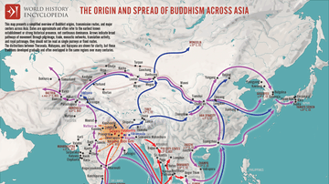
Map of the Spread of Buddhism Across Asia - The Making of a Pan-Asian Religion
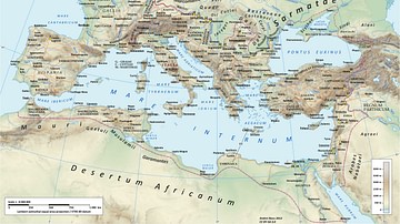
Roman Road Network
Cite This Work
APA Style
Netchev, S. (2026, November 13). Map of the Silk Roads of Eurasia, c. 780–800: Trade Routes, Empires, and Cultural Exchange. World History Encyclopedia. https://www.worldhistory.org/image/146/map-of-the-silk-roads-of-eurasia-c-780-800/
Chicago Style
Netchev, Simeon. "Map of the Silk Roads of Eurasia, c. 780–800: Trade Routes, Empires, and Cultural Exchange." World History Encyclopedia, November 13, 2026. https://www.worldhistory.org/image/146/map-of-the-silk-roads-of-eurasia-c-780-800/.
MLA Style
Netchev, Simeon. "Map of the Silk Roads of Eurasia, c. 780–800: Trade Routes, Empires, and Cultural Exchange." World History Encyclopedia, 13 Nov 2026, https://www.worldhistory.org/image/146/map-of-the-silk-roads-of-eurasia-c-780-800/.
