
Search
Remove Ads
Advertisement
Search Results
Image
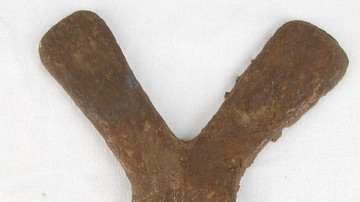
Copper Curency Ingot, Luba Kingdom
A copper cross used as a currency by such central African states as the Kingdom of Luba (15-19th century CE). Height: 19.5 cm. (British Museum, London)

Image
Horned Mask, Luba Kingdom
A wooden horned mask of the Kingdom of Luba (15-19th century CE), central Africa. Height: 47 cm. (British Museum, London)
Image
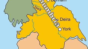
Map of the Kingdom of Northumbria
A map of the Kingdom of Northumbria (c. 604-954 CE) in the northeast of Britain c. 802 CE.
Image
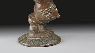
Carved Stool, Luba Kingdom
A carved wooden stool in the form of a figure from the Kingdom of Luba (15-19th century CE), central Africa. Height: 42.5 cm. (British Museum, London)
Image
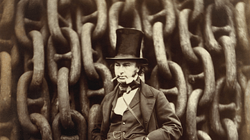
Isambard Kingdom Brunel
An 1857 photograph by Robert Howlett of the engineer Isambard Kingdom Brunel (1806-1859), one of the key figures of the Industrial Revolution in Britain. Brunel is standing in front of the restraining chains used in the...
Image
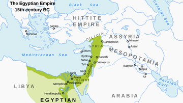
Map of the New Kingdom of Egypt, 1450 BCE
A map showing the maximum territorial extent of the New Kingdom of Egypt, ca. 1450 BCE.

Image
Funerary Urn, Unified Silla Kingdom
A ceramic funerary urn from the Unified Silla kingdom of ancient Korea. The decoration is typical of the period and was achieved using stamps. 8th century CE. (Freer and Sackler Galleries, Washington, D.C)
Image
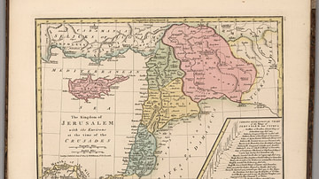
Kingdom of Jerusalem at the Time of the Crusades
This map depicts the Kingdom of Jerusalem (existed 1099-1291 CE), along with the Counties of Tripoli, Edessa, and Antioch.

Image
Royal Sceptre, Kingdom of Kongo
A gold sceptre used by the kings of the Kingdom of Kongo (14-19th century CE). 17th century CE (?). (Royal Museum of Central Africa, Brussels, Belgium)

Image
Map of Kingdom of Mercia
A map showing the greatest extent of the Kingdom of Mercia (c. 527-879 CE), an Anglo-Saxon political entity located in the midlands of present-day Britain
