
Server Costs Fundraiser 2026


This map illustrates the geographic spread of Jewish communities and synagogues across the Roman and Parthian worlds during the 1st and 2nd centuries CE. It highlights the development of Jewish life in the Diaspora following centuries of migration, exile, and integration, offering a window into the religious and communal life of Jews beyond the ancient homeland.
By the early Roman Imperial period, thriving Jewish communities had established synagogues in regions as diverse as Alexandria, Rome, Ostia, Delos, Antioch, Dura-Europos, and cities throughout Asia Minor, North Africa, and Mesopotamia. These synagogues served not only as places of worship but also as cultural and communal centers—anchoring Jewish identity amidst dominant Greco-Roman and Parthian cultures. Some were modest gathering spaces; others, like the synagogues in Alexandria and Dura-Europos, featured elaborate inscriptions and rich architectural decoration. The map underscores both the resilience and adaptability of Jewish traditions during a period marked by political upheaval, including the destruction of the Second Temple in 70 CE and the Bar Kokhba Revolt (132–136 CE). Despite loss and dispersion, Jewish communal life flourished across a wide geography.
About the Author

Related Images

Map of the Islamic Conquests in the 7th-9th Centuries

Map of the Phoenician Expansion c. 11 - 6 centuries BCE

Map of the Roman Empire under Theodosius the Great, c.395 - The Last Unified Roman Empire

Map of the Provinces of the Roman Empire under Augustus
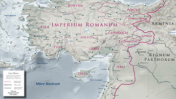
Asia Minor in the Early 1st Century CE
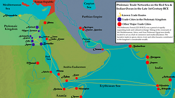
Ptolemaic Trade Networks in the Late 1st Century BCE
Cite This Work
APA Style
Netchev, S. (2015, October 23). Map of Diaspora Synagogues (1st - 2nd centuries CE). World History Encyclopedia. https://www.worldhistory.org/image/4141/map-of-diaspora-synagogues-1st---2nd-centuries-ce/
Chicago Style
Netchev, Simeon. "Map of Diaspora Synagogues (1st - 2nd centuries CE)." World History Encyclopedia, October 23, 2015. https://www.worldhistory.org/image/4141/map-of-diaspora-synagogues-1st---2nd-centuries-ce/.
MLA Style
Netchev, Simeon. "Map of Diaspora Synagogues (1st - 2nd centuries CE)." World History Encyclopedia, 23 Oct 2015, https://www.worldhistory.org/image/4141/map-of-diaspora-synagogues-1st---2nd-centuries-ce/.