


By 1914, the Russian Empire was one of the largest contiguous empires in history, stretching from Eastern Europe across Siberia to the Pacific. Its expansion began under the rulers of Muscovy and accelerated under the tsars, particularly Peter the Great (reign 1682–1725) and Catherine the Great (reign 1762–1796). Conquests, settlement, and diplomacy brought vast territories in the Baltic, Black Sea, Caucasus, Central Asia, and Far East under Russian rule.
Under Nicholas II (reign 1894–1917), the empire remained a vast, multiethnic state of provinces, autonomous territories, and protectorates, increasingly connected by the Trans-Siberian Railway. Yet uneven development, political unrest, competing national aspirations, and defeat in the Russo-Japanese War (1904–1905) exposed mounting tensions. World War I (1914–1918) intensified these pressures, contributing to the collapse of the Romanov monarchy in 1917.
About the Author
Related Images

Map of Peter the Great and the Russian Empire, c. 1725 - War, Reform, and Russia’s Rise as a Great Power

Tsar Peter III & Catherine the Great

Catherine the Great and the Russian Empire, c. 1796

Empress Catherine II of Russia
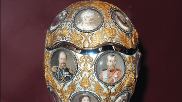
Romanov Tercentenary Egg by Fabergé

Portrait of Peter I of Russia
Cite This Work
APA Style
Netchev, S. (2026, November 06). Map of the Russian Empire in 1914: From Muscovy to World War I, 1533–1914. World History Encyclopedia. https://www.worldhistory.org/image/20616/map-of-the-russian-empire-in-1914/
Chicago Style
Netchev, Simeon. "Map of the Russian Empire in 1914: From Muscovy to World War I, 1533–1914." World History Encyclopedia, November 06, 2026. https://www.worldhistory.org/image/20616/map-of-the-russian-empire-in-1914/.
MLA Style
Netchev, Simeon. "Map of the Russian Empire in 1914: From Muscovy to World War I, 1533–1914." World History Encyclopedia, 06 Nov 2026, https://www.worldhistory.org/image/20616/map-of-the-russian-empire-in-1914/.
