


The Kon-Tiki Expedition (1947) was an experimental voyage led by Norwegian explorer Thor Heyerdahl (1914–2002), designed to test the feasibility of long-distance ocean travel using ancient technologies. Departing from Callao, Peru, a crew of six sailed a balsa-wood raft constructed with pre-modern materials and techniques, navigating the Pacific Ocean using winds and currents rather than modern propulsion. The expedition reflected a postwar surge in interest in human migration, experimental archaeology, and the practical limits of early seafaring.
Over 101 days, the Kon-Tiki traveled approximately 8,000 km (5,000 miles) before reaching Raroia Atoll in the Tuamotu Islands. Heyerdahl’s aim was not to prove that Polynesia was settled from South America (a claim now rejected by genetic, linguistic, and archaeological evidence), but to demonstrate that such a journey was technically possible. In this respect, the expedition succeeded: it showed that prehistoric technologies could sustain intercontinental travel under favorable conditions. The Kon-Tiki thus remains a landmark in experimental archaeology, illustrating how empirical testing can complement historical and scientific inquiry, even when original hypotheses are later revised.
About the Author

Related Images
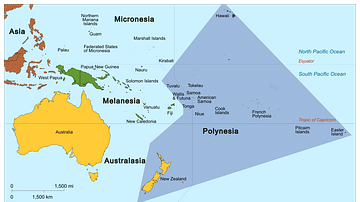
Map of Polynesia

Map of the Inca Empire - Expansion and Roads

Map of the Trade in the Indian Ocean 15th-16th century

Map of the inca Empire

Map of Arctic Discovery and Exploration

Map of the Spanish Conquest & Exploration in South America
Cite This Work
APA Style
Netchev, S. (2025, February 26). Map of Thor Heyerdahl’s Kon-Tiki Expedition, 1947. World History Encyclopedia. https://www.worldhistory.org/image/20099/map-of-thor-heyerdahls-kon-tiki-expedition-1947/
Chicago Style
Netchev, Simeon. "Map of Thor Heyerdahl’s Kon-Tiki Expedition, 1947." World History Encyclopedia, February 26, 2025. https://www.worldhistory.org/image/20099/map-of-thor-heyerdahls-kon-tiki-expedition-1947/.
MLA Style
Netchev, Simeon. "Map of Thor Heyerdahl’s Kon-Tiki Expedition, 1947." World History Encyclopedia, 26 Feb 2025, https://www.worldhistory.org/image/20099/map-of-thor-heyerdahls-kon-tiki-expedition-1947/.