
Server Costs Fundraiser 2026


Chart of the Malay Archipelago and the Dutch discoveries in Australia by Dutch cartographer Hessel Gerritsz (1581–1632).
Related Images

Plants Found in New Holland.
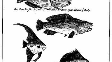
An Illustration from 'A Continuation of a Voyage to New Holland' by William Dampier.

Map of the Dutch Commercial Empire, c. 1665 - A Global Network of Commerce, Exploration and Maritime Power
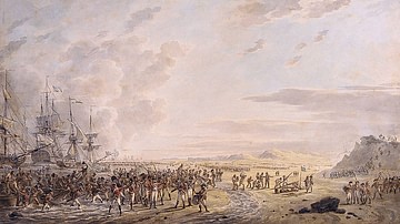
Landing of English troops in Holland, 27 August 1799

The Korean Peninsula and the Japanese Archipelago, 3rd-6th century CE

Map Showing the Location of the Madeira Archipelago
Cite This Work
APA Style
Australia, N. L. o. (2022, January 22). Chart of the Malay Archipelago and the Dutch Discoveries in Australia. World History Encyclopedia. https://www.worldhistory.org/image/15176/chart-of-the-malay-archipelago-and-the-dutch-disco/
Chicago Style
Australia, National Library of. "Chart of the Malay Archipelago and the Dutch Discoveries in Australia." World History Encyclopedia, January 22, 2022. https://www.worldhistory.org/image/15176/chart-of-the-malay-archipelago-and-the-dutch-disco/.
MLA Style
Australia, National Library of. "Chart of the Malay Archipelago and the Dutch Discoveries in Australia." World History Encyclopedia, 22 Jan 2022, https://www.worldhistory.org/image/15176/chart-of-the-malay-archipelago-and-the-dutch-disco/.