
Illustration
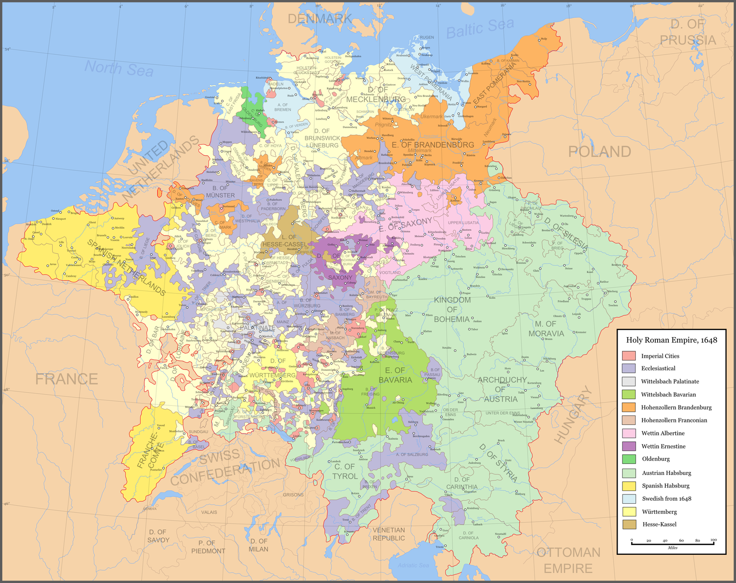
Map of the Holy Roman Empire depicting its boundaries following the Peace of Westphalia in 1648 CE.
License & Copyright
 Based on Wikipedia content that has been reviewed, edited, and republished.
Original image by Astrokey44. Uploaded by Michael Griffith, published on 22 March 2021. The copyright holder has published this content under the following license: Creative Commons Attribution-ShareAlike. This license lets others remix, tweak, and build upon a work even for commercial reasons, as long as they credit the author and license their new creations under the identical terms. When republishing on the web a hyperlink back to the original content source URL must be included. Please note that content linked from this page may have different licensing terms.
Based on Wikipedia content that has been reviewed, edited, and republished.
Original image by Astrokey44. Uploaded by Michael Griffith, published on 22 March 2021. The copyright holder has published this content under the following license: Creative Commons Attribution-ShareAlike. This license lets others remix, tweak, and build upon a work even for commercial reasons, as long as they credit the author and license their new creations under the identical terms. When republishing on the web a hyperlink back to the original content source URL must be included. Please note that content linked from this page may have different licensing terms.
Related Images
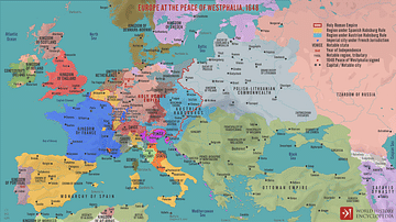
Europe at the Peace of Westphalia, 1648

English Civil War Dragoon Helmet
Transatlantic Triangular Trade Map
Polynesian Migration Map
Battle of Brandywine Map
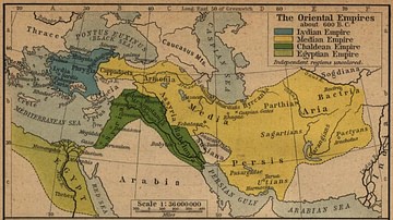
The Oriental Empires
Cite This Work
APA Style
Astrokey44, . (2021, March 22). Map of the Holy Roman Empire, 1648 CE. World History Encyclopedia. Retrieved from https://www.worldhistory.org/image/13699/map-of-the-holy-roman-empire-1648-ce/
Chicago Style
Astrokey44, . "Map of the Holy Roman Empire, 1648 CE." World History Encyclopedia. Last modified March 22, 2021. https://www.worldhistory.org/image/13699/map-of-the-holy-roman-empire-1648-ce/.
MLA Style
Astrokey44, . "Map of the Holy Roman Empire, 1648 CE." World History Encyclopedia. World History Encyclopedia, 22 Mar 2021. Web. 25 Apr 2024.