
Search
Remove Ads
Advertisement
Search Results

Image
Map of the Area Between the Lahn and the Sieg - Military Operations, 14–21 June 1796
This historical map was produced to support the understanding of military operations conducted between the Lahn and Sieg rivers from 14 to 21 June 1796. It provides a geographic...
Image
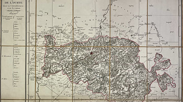
Map of the Ourthe Department
This antique map of Belgium represents the Ourthe department under the First French Empire. It was produced in the early 19th century by French geographer Pierre-Gilles Chanlaire and is part of the Atlas National de...
Image
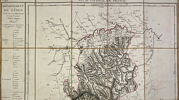
Map of the Genoa Department
This antique map of Italy represents the Genoa department under the First French Empire. It was produced in the early 19th century by French geographer Pierre-Gilles Chanlaire and is part of the Atlas National de France...

Image
The Abolition of Privileges, 4 August 1789
Bronze relief depicting the abolition of privileges before the August Decrees dismantled feudalism in France. Monument to the Republic, engraved by Leopold Morice, 1883. Place de la République, Paris. Photograph...

Image
Declaration of Pillnitz
Meeting of European rulers at the Pillnitz Conference, famous for the Declaration of Pillnitz, which was issued on 27 August 1791 and threatened Revolutionary France with invasion. Depicted in the center are Leopold II...

Book Review
Making the Carry: The Lives of John and Tchi-Ki-Wis Linklater
Timothy Cochrane’s Making the Carry chronicles the lives and labors of John (Métis) and Tchi-Ki-Wis (Anishinaabeg/Lac La Croix First Nation) Linklater as they made a place for themselves and...
