
Search
Remove Ads
Advertisement
Search Results

Image
Map of Korean States in 108 BCE
A map of the Korean states in 108 BCE.

Image
The Declaration of Independence of the United States of America
The Declaration of Independence of the United States of America, July 4, 1776, oil on canvas by Charles Édouard Armand-Dumaresq, c. 1873.
White House Cabinet Room, Washington, D.C.

Image
Map of Ancient Georgian States (600-150 BCE)
Map showing the ancient states in the western Caucasus (modern-day Georgia) from c. 600 BCE to 150 BCE.
Image
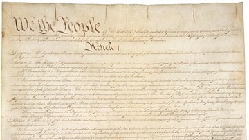
Constitution of the United States
Constitution of the United States, 17 September 1787.
National Archives and Records Administration, Washington D.C.

Image
Crusader States 1200 CE
This map shows the crusader states c. 1200 CE.

Image
Baltic States 1100-1400 CE
This map illustrates the Baltic states in the period 1100-1400 CE.
Image
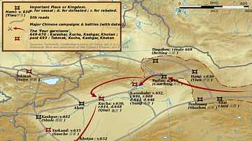
Taizong's Campaigns Against the Xiyu States
A map illustrating the campaigns of Tang Dynasty emperor Taizong (r. 626-649 CE) against the Xiyu states in China.
Image
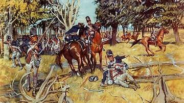
Legion of the United States at Fallen Timbers
Legion of the United States at the Battle of Fallen Timbers (20 August 1794). Painting by H. Charles McBarron, Jr.
Center for Military History.

Image
Warring States Period Dog Collar
Warring States Period dog collar.
Zhongshan State Gallery, Hebei Museum, Shijiazhuang, China.

Image
Map of Southern Song & Jin States
A map indicating the territory of the Southern Song Dynasty, 1125-1279 CE and the Jurchen Jin state (1115-1234 CE).
