
Related Images
Image
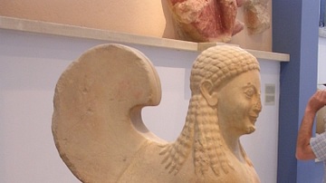
Archaic Sphinx, Athenian Acropolis
Archaic period sphinx (6th century BCE), Acropolis Museum, Athens...
Image
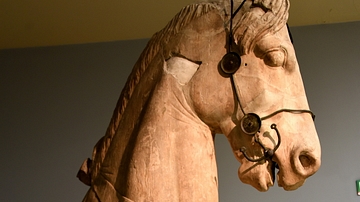
Statue of a Horse from the Mausoleum at Halicarnassus
This is a forepart of a horse from the chariot-group surmounting...
Image
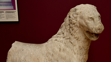
Statue of a Lion from Halicarnassus
This marble statue of a lion came from the Mausoleum at Halicarnassus...

Image
Mausoleum at Halicarnassus (Artist's Impression)
An artist's depiction of the Mausoleum at Halicarnassus as it may...
Image
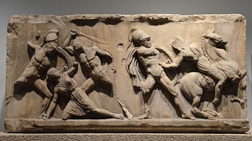
Amazonomachy Relief from the Mausoleum at Halicarnassus
Slab from the Amazonomachy frieze depicting five figures, three...
Image
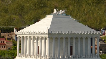
Model of the Mausoleum at Halicarnassus
A modern scale model of what the 4th century BCE Mausoleum at Halicarnassus...
Cite This Work
APA Style
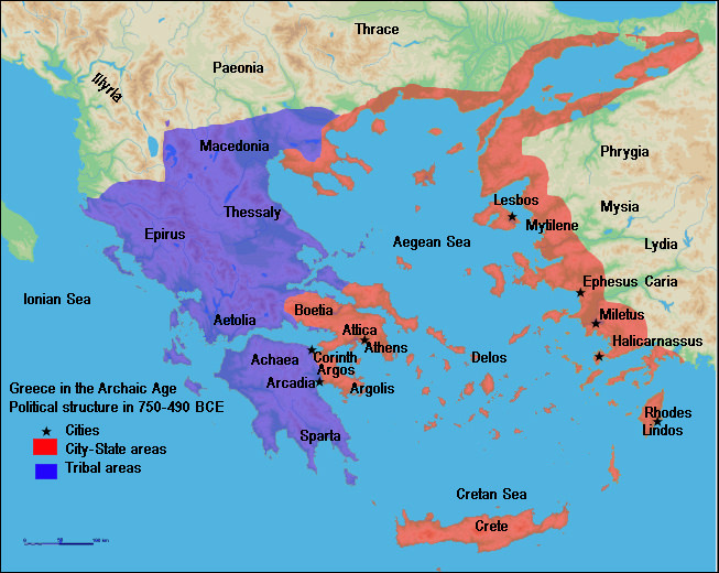
Megistias, . (2012, April 26). Map of Archaic Greece. World History Encyclopedia. Retrieved from https://www.worldhistory.org/image/328/map-of-archaic-greece/
Chicago Style
Megistias, . "Map of Archaic Greece." World History Encyclopedia. Last modified April 26, 2012. https://www.worldhistory.org/image/328/map-of-archaic-greece/.
MLA Style
Megistias, . "Map of Archaic Greece." World History Encyclopedia. World History Encyclopedia, 26 Apr 2012. Web. 18 Apr 2024.