

 2
2
This text is available in other languages:

The Olmec world developed in the tropical lowlands of present-day Veracruz and Tabasco during Mesoamerica’s Formative period (c. 1500–400 BCE). Major centers, including San Lorenzo (c. 1400–900 BCE), La Venta (c. 900–400 BCE), Laguna de los Cerros, and Tres Zapotes, combined political authority, ceremonial activity, specialized production, and monumental construction. Their communities participated in extensive exchange networks through which basalt, jadeite, obsidian, iron ores, bitumen, and cacao moved between the Gulf Coast, central Mexico, Oaxaca, Chiapas, Guatemala, and the Maya lowlands. These connections also carried artistic forms, ritual practices, and political symbols, but they did not constitute a unified Olmec empire or prove direct Gulf control over distant societies.
Olmec culture should therefore be understood within a wider landscape of interacting Mesoamerican communities rather than simply as a “mother culture” from which later civilizations descended. Monumental heads, jade carvings, planned ceremonial spaces, and recurring supernatural imagery demonstrate sophisticated craftsmanship and powerful leadership, while related forms appearing elsewhere were often selectively adopted and locally reinterpreted. Early writing, calendrical knowledge, and the ritual ball game developed through broader and still-debated regional processes; current evidence does not securely assign their invention to the Olmec alone. After c. 400 BCE, political and ceremonial activity shifted toward other centers, but Gulf Coast traditions continued and contributed to the evolving cultural networks of Mesoamerica.
About the Author
Related Images

Olmec Colossal Stone Head, San Lorenzo

Map of the Hanseatic League Trade Network, c. 1400

Remnants of Maya Ruins at San Gervasio, Mexico

Maya Ruins of San Gervasio on Cozumel, Mexico

Map of the Mesoamerican Civilizations
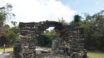
The Maya Arch at San Gervasio, Mexico
Cite This Work
APA Style
Netchev, S. (2026, July 22). Map of The Olmec World and Its Mesoamerican Connections: Power, Resources, and Interaction Networks, c. 1500–400 BCE. World History Encyclopedia. https://www.worldhistory.org/image/19490/map-of-the-olmec-world-and-its-mesoamerican-connec/
Chicago Style
Netchev, Simeon. "Map of The Olmec World and Its Mesoamerican Connections: Power, Resources, and Interaction Networks, c. 1500–400 BCE." World History Encyclopedia, July 22, 2026. https://www.worldhistory.org/image/19490/map-of-the-olmec-world-and-its-mesoamerican-connec/.
MLA Style
Netchev, Simeon. "Map of The Olmec World and Its Mesoamerican Connections: Power, Resources, and Interaction Networks, c. 1500–400 BCE." World History Encyclopedia, 22 Jul 2026, https://www.worldhistory.org/image/19490/map-of-the-olmec-world-and-its-mesoamerican-connec/.
