


The Periplus Ponti Euxini (“Circumnavigation of the Black Sea”), written by Arrian of Nicomedia (c. 86–after 146 CE), is a major example of Roman geographical and administrative writing from the early 2nd century CE. A periplus, from the Greek periplous (“sailing around”), was a coastal guide describing routes, ports, anchorages, landmarks, and sailing distances. Composed around 131 CE as a letter to Emperor Hadrian (reign 117–138 CE), the work reflects Arrian’s role as governor of Cappadocia and combines firsthand inspection of the eastern Black Sea coast with official reports and inherited geographical knowledge.
The text functioned both as a navigational survey and as an instrument of imperial governance, recording harbours, garrisons, coastal peoples, political relationships, and maritime conditions. It reveals how Roman power in the Black Sea region depended not only on direct provincial control but also on fortified ports, client rulers, trade networks, and strategic intelligence. At the same time, inconsistencies in some reported distances expose the limits of Roman geographical knowledge and show how observation, administration, and imperial ideology intersected along a complex frontier.
About the Author
Related Images
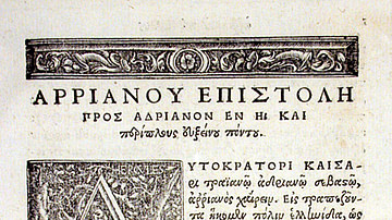
Periplus of the Euxine Sea by Arrian

Periplus of the Erythreaen Sea

Map of Emperor Hadrian’s 4 Journeys Across the Roman Empire - Frontiers, Diplomacy & Imperial Power, 117–133 CE
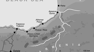
The Caucasian Frontier of the Roman Empire
Map of Ferdinand Magellan's Circumnavigation

Map of Francis Drake's Circumnavigation, 1577-80 CE
Cite This Work
APA Style
Netchev, S. (2026, July 16). Map of a Circumnavigation of the Black Sea c. 130 CE: Arrian of Nicomedia’s Periplus Ponti Euxini. World History Encyclopedia. https://www.worldhistory.org/image/18252/map-of-a-circumnavigation-of-the-black-sea-c-130-c/
Chicago Style
Netchev, Simeon. "Map of a Circumnavigation of the Black Sea c. 130 CE: Arrian of Nicomedia’s Periplus Ponti Euxini." World History Encyclopedia, July 16, 2026. https://www.worldhistory.org/image/18252/map-of-a-circumnavigation-of-the-black-sea-c-130-c/.
MLA Style
Netchev, Simeon. "Map of a Circumnavigation of the Black Sea c. 130 CE: Arrian of Nicomedia’s Periplus Ponti Euxini." World History Encyclopedia, 16 Jul 2026, https://www.worldhistory.org/image/18252/map-of-a-circumnavigation-of-the-black-sea-c-130-c/.
