


Topographic map of Svalbard archipelago (formerly known as Spitsbergen).
Related Images

Map of Odysseus’ 10-year Journey Home

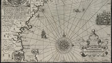
1598 Map of the Three Arctic Voyages (1594–1596) by Willem Barentsz
Map of New England

Map of the World in the 14th Century

Map of the World Known to Europeans in 1000 CE
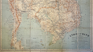
Map of Indochina by the Pavie Mission
Cite This Work
APA Style
Räisänen, O. (2022, January 08). Topographic map of Svalbard. World History Encyclopedia. https://www.worldhistory.org/image/15092/topographic-map-of-svalbard/
Chicago Style
Räisänen, Oona. "Topographic map of Svalbard." World History Encyclopedia, January 08, 2022. https://www.worldhistory.org/image/15092/topographic-map-of-svalbard/.
MLA Style
Räisänen, Oona. "Topographic map of Svalbard." World History Encyclopedia, 08 Jan 2022, https://www.worldhistory.org/image/15092/topographic-map-of-svalbard/.