
Server Costs Fundraiser 2026


This antique map of Indochina, dated 1909, was produced under the direction of Auguste Pavie and based on surveys carried out by members of the Pavie Mission between 1880 and 1895. It was created under the auspices of the French Ministry of Foreign Affairs and the Ministry of Colonies. Contributors include Captains Cupet, Friquegnon, de Malglaive, and Seauve, among others. The map reflects geographical data collected in Laos, Cambodia, Vietnam, and southern China, incorporating hydrographic and topographic work as well as military routes and local sources. It was engraved by the Service Géographique de l’Indo-Chine and reviewed by Captain Tixier of the Colonial Artillery.
About the Author

Related Images

Map of the French Revolution and Wars 1789-99
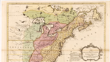
English & French Colonies in North America, 1758 CE

North America in the French and Indian War 1754–1763 - A Colonial War and the Roots of American Revolution

Map of Odysseus’ 10-year Journey Home

Map of the Silk Road During the Late 8th Century

Map of Africa in World War II
Cite This Work
APA Style
Denis, L. (2025, May 27). Map of Indochina by the Pavie Mission. World History Encyclopedia. https://www.worldhistory.org/image/20490/map-of-indochina-by-the-pavie-mission/
Chicago Style
Denis, Léopold. "Map of Indochina by the Pavie Mission." World History Encyclopedia, May 27, 2025. https://www.worldhistory.org/image/20490/map-of-indochina-by-the-pavie-mission/.
MLA Style
Denis, Léopold. "Map of Indochina by the Pavie Mission." World History Encyclopedia, 27 May 2025, https://www.worldhistory.org/image/20490/map-of-indochina-by-the-pavie-mission/.