


An illustrated map of the Mediterranean from 700 BCE to 500 CE. From the novel The Jericho River by David Tollen.
About the Author
Related Images

An Illustrated Map of Medieval and Early Modern Europe (From the Novel "The Jericho River")
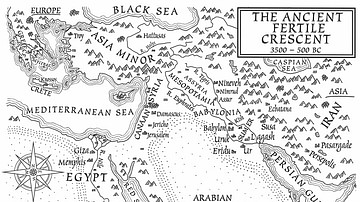
A Map of the Ancient Fertile Crescent (From the Novel The Jericho River)

Cherub (From the Novel "The Jericho River")

Ancient Aqueduct (From the Novel "The Jericho River")
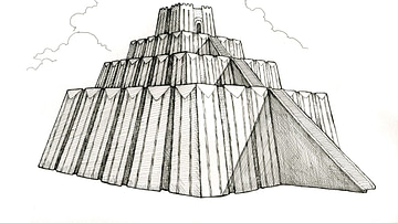
Ancient Ziggurat (From the Novel "The Jericho River")
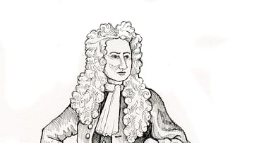
An Early-Modern Scholar (From the Novel "The Jericho River")
Cite This Work
APA Style
Tollen, D. (2021, November 04). An Illustrated Map of the Mediterranean from 700 BCE to 500 CE (From the Novel "The Jericho River"). World History Encyclopedia. https://www.worldhistory.org/image/14793/an-illustrated-map-of-the-mediterranean-from-700-b/
Chicago Style
Tollen, David. "An Illustrated Map of the Mediterranean from 700 BCE to 500 CE (From the Novel "The Jericho River")." World History Encyclopedia, November 04, 2021. https://www.worldhistory.org/image/14793/an-illustrated-map-of-the-mediterranean-from-700-b/.
MLA Style
Tollen, David. "An Illustrated Map of the Mediterranean from 700 BCE to 500 CE (From the Novel "The Jericho River")." World History Encyclopedia, 04 Nov 2021, https://www.worldhistory.org/image/14793/an-illustrated-map-of-the-mediterranean-from-700-b/.
