
Illustration
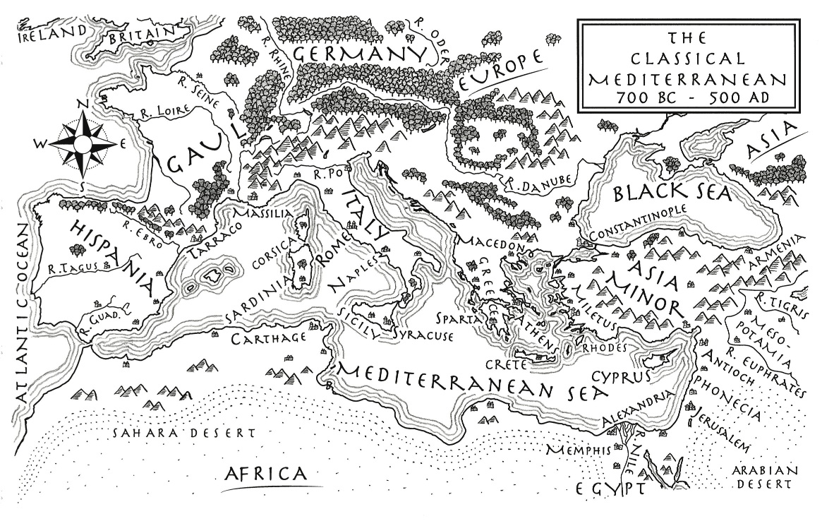
An illustrated map of the Mediterranean from 700 BCE to 500 CE. From the novel The Jericho River by David Tollen.
About the Author

Related Images
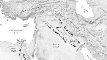
Tigris, Euphrates, & Nile River Flows
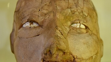
Plastered Skull from Jericho
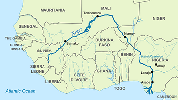
Map of Niger River

Plastered Skull from Jericho
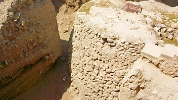
Walls of Jericho
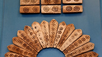
Decorative Bone Inlay from Jericho
Cite This Work
APA Style
Tollen, D. (2021, November 04). An Illustrated Map of the Mediterranean from 700 BCE to 500 CE (From the Novel "The Jericho River"). World History Encyclopedia. Retrieved from https://www.worldhistory.org/image/14793/an-illustrated-map-of-the-mediterranean-from-700-b/
Chicago Style
Tollen, David. "An Illustrated Map of the Mediterranean from 700 BCE to 500 CE (From the Novel "The Jericho River")." World History Encyclopedia. Last modified November 04, 2021. https://www.worldhistory.org/image/14793/an-illustrated-map-of-the-mediterranean-from-700-b/.
MLA Style
Tollen, David. "An Illustrated Map of the Mediterranean from 700 BCE to 500 CE (From the Novel "The Jericho River")." World History Encyclopedia. World History Encyclopedia, 04 Nov 2021. Web. 18 Apr 2024.