


This map illustrates the sweep of Viking exploration between the late 8th and early 11th centuries, charting longship routes from Scandinavia to the British Isles, Normandy, Iberia, Russia, the Mediterranean, and across the North Atlantic to Iceland, Greenland, and Newfoundland. It highlights how mobility, trade, and raiding knit these far-flung coasts together.
Beyond familiar raids in Britain and Ireland, Norse crews founded Dublin, settled Normandy, and navigated Russian rivers to Byzantium and the Caspian Sea, where they served as Varangian mercenaries. Westward, they created farming colonies in Iceland and Greenland and attempted a short-lived outpost at Vinland (L’Anse aux Meadows, Canada). These journeys left lasting genetic, linguistic, and political footprints—from Normandy’s ducal line to the Varangian Guard of Constantinople—reshaping medieval Europe and the North Atlantic world.
About the Author

Related Images
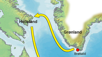
Map of the Greenland-Vinland Voyage

Map of the Silk Road During the Late 8th Century

Varangian Trade Routes

Map of Arctic Discovery and Exploration

Map of Spanish Conquest & Exploration in North America

Map of Westward Exploration and Settlement of the USA c.1855
Cite This Work
APA Style
Netchev, S. (2021, May 25). Map of Viking Exploration, 8th-11th Century. World History Encyclopedia. https://www.worldhistory.org/image/14067/map-of-viking-exploration-8th-11th-century/
Chicago Style
Netchev, Simeon. "Map of Viking Exploration, 8th-11th Century." World History Encyclopedia, May 25, 2021. https://www.worldhistory.org/image/14067/map-of-viking-exploration-8th-11th-century/.
MLA Style
Netchev, Simeon. "Map of Viking Exploration, 8th-11th Century." World History Encyclopedia, 25 May 2021, https://www.worldhistory.org/image/14067/map-of-viking-exploration-8th-11th-century/.