
Search
Remove Ads
Advertisement
Search Results
Image
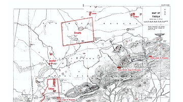
Map of Taxila
An early 20th Century map of Taxila showing the various archaeological sites in red by Sir John Marshall

Image
Post Kushan India
A map showing the political situation in the Indian Subcontinent following the fall of the Kushan Empire
Image
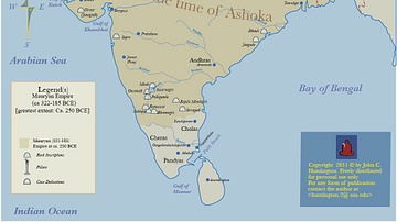
Maruyan Empire
Map showing the extent of the Mauryan Empire at its furthest extent, c. 322 - 185 BCE.

Image
Jandial Temple
The temple at Jandial in Taxila, attributed to the Zoroastrian religion and mentioned in the works of Appolonius of Tyana. Dated to c. 180 BCE – 80 CE probably built during the Parthian era along decidedly Greek lines.

Image
Graeco-Bactrian Empire
The map shows the first Graeco Bactrian kingdom established by Diodotus 1 following the dissolution of the Seleucid Empire. c. 240 - 170 BCE.
Image
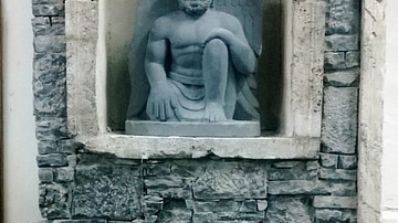
Reconstruction of Gandharan Architecture
A wall panel recreated using typical materials and decorative techniques at Quaid-e-Azam University to showcase Gandharan Architecture for students. The panel contains a structural wall created using typical...
Image
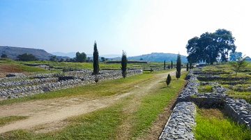
City of Sirkap
A view of the main street of Sirkap, the second city of Taxila

Image
Bhir Mound Excavations
Google Earth view of Bhir Mound archaeological site excavations at Taxila, 6th-2nd Cent BCE. Image © 2015 Digital Globe

Image
Sirkap Excavations, Taxila
Google Earth image of the ruins of Sirkap, the 2nd city of Taxila, dated 2nd cent BCE - 1st cent CE. Image © 2015 Digital Globe

Image
Stupa Front Detail
A detailed view of the front of a typical Gandharan stupa from Taxila at the site of Badalpur. Dated to 2nd - 5th Cent CE
