
Search
Did you mean: Assyria?
Remove Ads
Advertisement
Search Results

Image
Map of Europe in 220 BC
Approximate borders in Europe around 220 BC. Based on the Pengiun Atlas of History.
Image
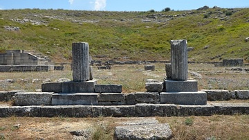
Theatre of Byllis, Albania
The Theatre was built against a natural slope and dates from the middle of the 3rd century BCE. With its 40 steps of seats, it had a capacity of 7,500 spectators.
Image
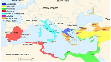
Map of the Mediterranean 218 BCE
A map of the Mediterranean in 218 BC, showing the territorial extents of the following states: - Antigonids - Attalids - Carthage - Ptolemies - Roman Empire - Seleucids Major battle locations are also shown...
Image
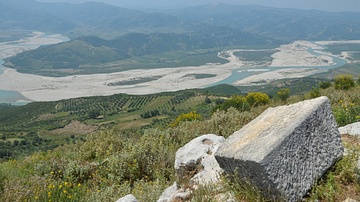
View towards the Vjosa Valley from Byllis, Albania
View towards the Vjosa valley from Byllis, Albania. The site occupied a dominant position on the summit of a hill, over the road from Apollonia to Epirus and into Macedonia.
Image
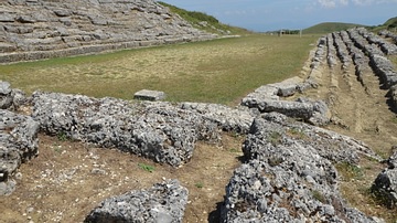
Stadium of Amantia, Albania
The Stadium of Amantia was built in the 3rd century BCE. Its stone rows, set in the form of an extended horseshoe, followed a track 12.5m wide and about 60m long. It had 17 rows on one side and 8 on the other and could...
Image
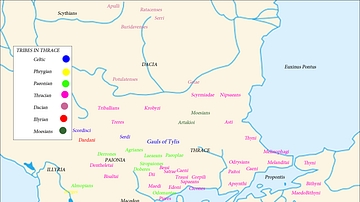
Map of the Tribes in Thrace
A map showing the major tribes in Thrace and the surrounding regions.

Video
The archaeological site and museum of Heraklia Lynkestis near Bitola, North Macedonia
Heraklia Lynkestis is the archaeological site of an ancient city of the same name near Bitola in North Macedonia. The city was founded by Philip II of Macedon in c. 385 BC...

Book Review
Philip II of Macedonia
Philip II of Macedonia, by Ian Worthington, is a biography of Philip II, king of ancient Macedon from 360 to 336 BCE and father of Alexander the Great. Even though the figure of Philip is often obscured by the glory of his...
