
6 days left
Server Costs Fundraiser 2026
It costs $20,000 a year to run our servers, and we need your help to pay for them!
$14350 / $20000


Related Images

Image
Roman Province Bithynia et Pontus c. 200 CE
The Roman province of Bithynia et Pontus, established in 63 BCE...

Image
Map of the Ptolemaic World
A map showing the known world at the time of the Ptolemaic Empire...
Image
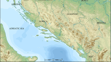
Map of Prehistoric Illyria
A map showing the sites and cultures of prehistoric Illyria.
Image
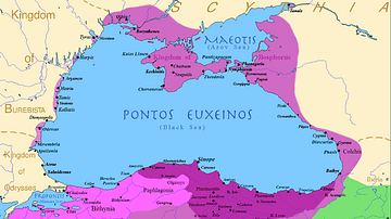
The Kingdom of Pontus
Map of the Pontic Kingdom before the reign of Mithridates VI (darkest...

Image
Map of the Hellenic Leagues and Hegemonies, 4th century BCE
The political landscape of the Hellenic world shifted dramatically...

Image
Map of the Ptolemaic Kingdom of Egypt c. 240 BCE - Power, Wealth, and Rivalry in the Hellenistic World
By c. 240 BCE, Ptolemaic Egypt stood as one of the most powerful...
References
World History Encyclopedia is an Amazon Associate and earns a commission on qualifying book purchases.Cite This Work
APA Style
Astrokey44. (2012, April 26). Map of Europe in 220 BC. World History Encyclopedia. https://www.worldhistory.org/image/222/map-of-europe-in-220-bc/
Chicago Style
Astrokey44. "Map of Europe in 220 BC." World History Encyclopedia, April 26, 2012. https://www.worldhistory.org/image/222/map-of-europe-in-220-bc/.
MLA Style
Astrokey44. "Map of Europe in 220 BC." World History Encyclopedia, 26 Apr 2012, https://www.worldhistory.org/image/222/map-of-europe-in-220-bc/.