
Search
Remove Ads
Advertisement
Search Results

Image Gallery
7 Maps of the Spanish Colonial Empire
In this gallery of seven maps, we examine the vast overseas territories of the Spanish Empire from the late 15th century to the 19th century. The empire reached its height during the Age of Exploration and included regions in the Americas...

Collection
The History of The East India Company
The British East India Company (EIC) was founded as a trading company in 1600. Run by a board of directors in London, the company employed a private army, first to protect the trade it conducted in the Indian subcontinent and then to expand...

Video
Did Europeans Enslave Native Americans?
PBS Member Stations rely on viewers like you (thank you). Support your local station here: http://to.pbs.org/DonateORIG ↓ More info and sources below ↓ Here in the United States, when we think about the term "slavery" we think about...
Collection
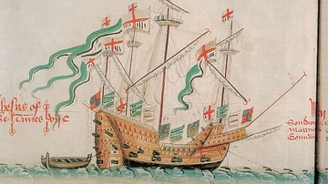
Elizabethan Explorers, Privateers & Colonists
The reign of Elizabeth I of England (1558-1603 CE) witnessed an extraordinary spurt of exploration as tiny wooden ships boldly set sail from English shores to cross the world's oceans. Famous mariners like Francis Drake, Martin Frobisher...

Image
Map of the European Colonization of North America, 1492-1750
The systematic European colonization of North America unfolded between the first voyages of the 1490s and the outbreak of the French and Indian War in the 1750s. Spanish, French, English, and Dutch ambitions carved up the continent, with...

Image
Map of the British Raj c. 1930
A map illustrating the British Raj around 1930, a period of direct British rule over the Indian subcontinent that began in 1858. Following the Sepoy Mutiny of 1857, also known as the First War of Independence, the British Parliament passed...

Image
Map of the Portuguese Commercial Empire, c. 1580 - Fortified Ports, Maritime Trade Routes, and Global Sea Power
Portugal established the first and longest-lasting of Europe’s overseas empires, developing a maritime-commercial network that connected the Atlantic, Indian, and Pacific Oceans from the 15th century onward. Under rulers such as João I (reign...

Image
Map of the Scramble for Africa after the Berlin Conference
The Berlin Conference (1884–1885), also known as the Congo Conference, marked a defining moment in the Scramble for Africa—the competitive colonization of the continent by European powers during the late 19th century. Convened in Berlin under...

Image
Map of the East India Company Trade, c.1800
The English East India Company (EIC) was established by Royal Charter on 31 December 1600 under Queen Elizabeth I (reign 1558–1603), granting it a monopoly on English trade east of the Cape of Good Hope. Initially conceived as a commercial...

Image
Map of the British Conquest in India c. 1857
This map illustrates the rapid and often chaotic expansion of British control in India between the Battle of Plassey in 1757 and the eve of the Indian Rebellion in 1857. During this century, the East India Company transformed from a trading...