
Search
Remove Ads
Advertisement

 This answer was generated by
 Search Results

Definition
Asia Minor
Ancient Asia Minor is a geographic region located in the south-western part of Asia comprising most of present-day Turkey. The earliest reference to the region comes from tablets of the Akkadian Dynasty (2334-2083 BCE) where it was...
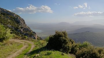
Image Gallery
A Panorama of Central Greece
The uniqueness of modern central Greece's landscape derives from the atmospheric blend of ancient archaeological sites and the Mediterranean flora. The forests are mostly composed of fir trees, pine trees, and bushes...

Image
Map of Japanese Expansion in Asia & the Pacific, 1875–1942 - Japanese Empire at Its World War II High-Water Mark
Japan’s imperial expansion developed over several decades rather than from a single fixed plan. Modernization during the Meiji era transformed Japan into...
Image
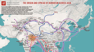
Map of the Spread of Buddhism Across Asia - The Making of a Pan-Asian Religion
Buddhism originated in the Ganges Plain of Magadha (modern Bihar, India) during the 5th–4th centuries BCE, following the enlightenment of Siddhartha Gautama, the Buddha (c. 5th...

Image
Map of Roman Rule in Asia Minor, c. 200 CE
This map illustrates the geopolitical landscape of Asia Minor during the reign of Emperor Septimius Severus (193–211 CE), around the year 200 CE. By this time, the peninsula (modern-day Turkey) had been under...
Image
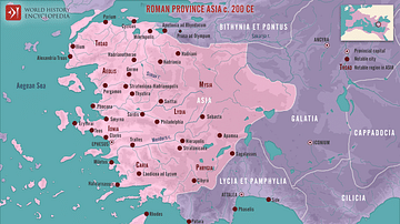
Roman Province Asia c. 200 CE
This map illustrates the Roman province of Asia around 200 CE. Established in 129 BCE following the bequest of the Attalid Kingdom of Pergamon to Rome, it encompassed western Anatolia (modern-day Turkey). It was a wealthy...
Image
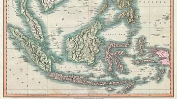
Map of the East Indies and Southeast Asia
An 1801 map of the East Indies and Southeast Asia ( Singapore, Borneo, Sumatra, Java, Philippines).
Image
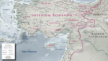
Asia Minor in the Early 1st Century CE
Map of Asia Minor in the early 1st century CE with the Kingdom of Commagene as a Roman client state.
Image
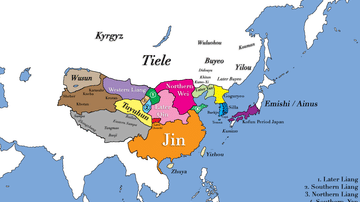
East Asia in 400 CE
This map shows all major civilizations of East Asia at the beginning of 4th century CE. Italicized texts indicate nomadic bands or tribal societies.

Image
East Asia in the year 1 CE
This map shows the boundaries of all major civilizations in East Asia at the beginning of the first millennium, with italics indicating nomadic bands and other tribal societies.
