
Browse Content
Image
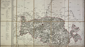
Map of the Ourthe Department
This antique map of Belgium represents the Ourthe department under...

Image
Map of the United States Under the Compromise of 1850
This map illustrates the situation in the United States n 1850...

Image
Map of the World in the 14th Century
The 14th century was a time of crisis and transformation across...

Image
Map of the Pô Department
This antique map of Italy depicts the department of the Pô under...

Image
Map of the Rhin-et-Moselle Department
This antique map of Germany represents the department of Rhin-et-Moselle...

Image
Map of the Roer Department
This antique map of Germany depicts the department of the Roer...