


This antique map of Germany depicts the department of the Roer during the First French Empire. It was created in the early 19th century by French geographer Pierre-Gilles Chanlaire and is part of the Atlas National de France. The map documents the territorial organization imposed by the Napoleonic administration in western Germany.
Related Images

Map of Napoleonic Europe at its Greatest Extent - Rise and Fall of the French Imperial System, 1804–1815
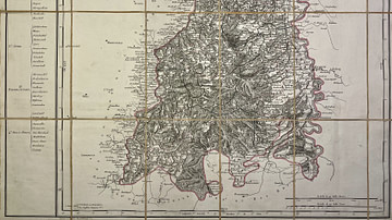
Map of the Mont-Tonnerre Department

Map of the Rhin-et-Moselle Department
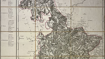
Map of the Saar Department
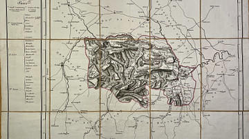
Map of the Marengo Department
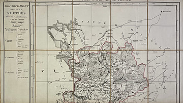
Map of the Deux-Nèthes Department
Cite This Work
APA Style
Chanlaire, P. (2025, May 27). Map of the Roer Department. World History Encyclopedia. https://www.worldhistory.org/image/20495/map-of-the-roer-department/
Chicago Style
Chanlaire, Pierre-Gilles. "Map of the Roer Department." World History Encyclopedia, May 27, 2025. https://www.worldhistory.org/image/20495/map-of-the-roer-department/.
MLA Style
Chanlaire, Pierre-Gilles. "Map of the Roer Department." World History Encyclopedia, 27 May 2025, https://www.worldhistory.org/image/20495/map-of-the-roer-department/.
