
Search Maps
Latest Maps

Map of the World Known to Europeans c. 1000 CE - Trade, Travel & the Limits of Geographic Knowledge

Spread of the Black Death

Map of the World War I in Europe, May 1917 - Front Lines, Occupation and a Continent in Crisis

Map of the European Colonization of North America, 1492–1750 - Voyages, Claims, Settlements & Imperial Rivalries

Map of the Spanish Armada, 1588 - Route, Battles & Retreat around Britain and Ireland

Map of the East India Company's Rise to Power, c. 1765 - Robert Clive and the Making of Company Power in India

Map of the Ancient Near East after Hammurabi, c. 1700 BCE - Kingdoms, Cities & Shifting Power in the Bronze Age

Map of the Korean War, 1950–1953 - Major Campaigns and Front-Line Movements
Interactive Maps
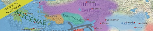
Mapper: Atlas for Time Travellers

Watch empires rise and fall, follow migrations, and navigate history one year at a time. Browse political boundaries from 2400 BCE through 263 BCE at any level of magnification. Every border, every empire, rendered from primary historical data.
Vici Archaeological Atlas of Antiquity
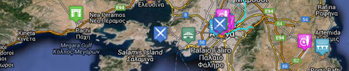
This map shows ancient sites and museums from the Greco-Roman world in high detail, down to street level. The map covers the Mediterranean and most of Europe. It is created and maintained by the Vici Project.
Map of Ancient History Museums
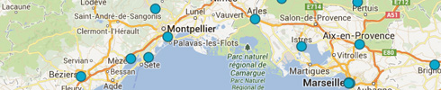
This map of the modern world shows the locations and addresses of various archaeological museums and sites around the world which are relevant to ancient history.
Digital Atlas of the Roman Empire
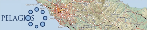
A highly zoomable and detailed map of the Roman Empire and the Classical World, created and managed by the Centre for Digital Humanities, University of Gothenburg, Sweden. The map shows provinces, cities, roads and fortresses of the Roman Empire.
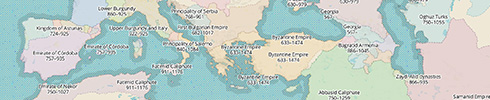
Map of Prehistoric Sites
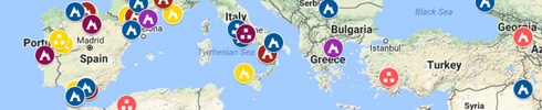
This map shows a selection of Palaeolithic sites across a very wide time span all across the globe which are connected in one way or another with the genus of Homo.
Map of Medieval Trade Routes
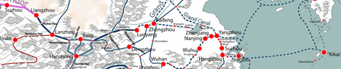
This zoomable map shows the global trade networks of the Old World during the Middle Ages.
