


This map of the Near East in 1135 CE shows four Crusader States (marked with red crosses) in relation to other powerful kingdoms in the period between the first and second crusades.
Related Images
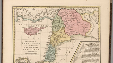
Kingdom of Jerusalem at the Time of the Crusades

Map of the Crusader States (Outremer), 1096-1291

Map of the First Three Crusades & the 12th-Century Outremer

Map of the First Crusade, 1096 - 1099

Map of the Crusader States, 1229-1240 CE

Italian Troops Shooting in Tripoli
Cite This Work
APA Style
MapMaster. (2018, August 21). The Near East in 1135 CE. World History Encyclopedia. https://www.worldhistory.org/image/9048/the-near-east-in-1135-ce/
Chicago Style
MapMaster. "The Near East in 1135 CE." World History Encyclopedia, August 21, 2018. https://www.worldhistory.org/image/9048/the-near-east-in-1135-ce/.
MLA Style
MapMaster. "The Near East in 1135 CE." World History Encyclopedia, 21 Aug 2018, https://www.worldhistory.org/image/9048/the-near-east-in-1135-ce/.