
Server Costs Fundraiser 2026


This aerial picture shows the ruins of Germa, known as Garama in antiquity. Garama was once the capital of the powerful Garamantean Kingdom which rose to prominence in the region of southeast Libya around 500 BCE and was a regional power until its decline around the 8th Century CE.
Related Images

Mausoleum, Germa Libya

Soluch Concentration Camp in Libya

Mussolini and Balbo at a Gala Event in Libya

Italo Balbo Welcomes Italian Colonists in Libya (1938)

Aerial View of Trenches, Western Front in 1916
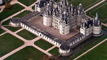
Aerial View, Chateau de Chambord
Cite This Work
APA Style
Savage, T. (2018, January 23). Aerial View of the Ruins at Germa (Garama). World History Encyclopedia. https://www.worldhistory.org/image/8008/aerial-view-of-the-ruins-at-germa-garama/
Chicago Style
Savage, Toby. "Aerial View of the Ruins at Germa (Garama)." World History Encyclopedia, January 23, 2018. https://www.worldhistory.org/image/8008/aerial-view-of-the-ruins-at-germa-garama/.
MLA Style
Savage, Toby. "Aerial View of the Ruins at Germa (Garama)." World History Encyclopedia, 23 Jan 2018, https://www.worldhistory.org/image/8008/aerial-view-of-the-ruins-at-germa-garama/.