Server Costs Fundraiser 2024
Help our mission to provide free history education to the world! Please donate and contribute to covering our server costs in 2024. With your support, millions of people learn about history entirely for free every month.
$3889 / $18000
Illustration
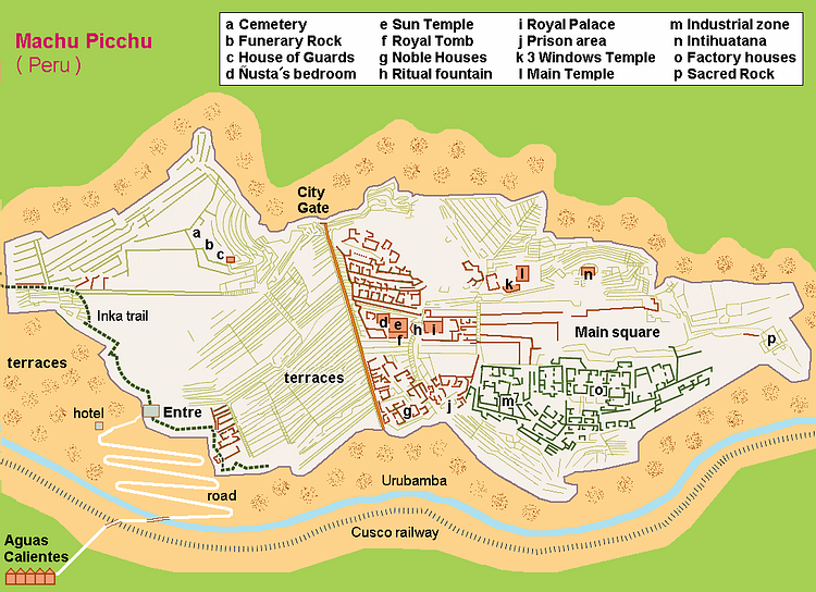
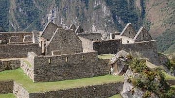
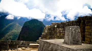
A map of Machu Picchu, the Inca site in the high Andes in the Urubamba Valley. The settlement was founded by Pachacuti Inca Yupanqui in c. 1450 CE. Typical of Inca architecture, the settlement follows the contours of the natural topography.
Cite This Work
APA Style
Behr, H. /. H. (2014, March 03). Map of Machu Picchu. World History Encyclopedia. Retrieved from https://www.worldhistory.org/image/2339/map-of-machu-picchu/
Chicago Style
Behr, Hobe / Holger. "Map of Machu Picchu." World History Encyclopedia. Last modified March 03, 2014. https://www.worldhistory.org/image/2339/map-of-machu-picchu/.
MLA Style
Behr, Hobe / Holger. "Map of Machu Picchu." World History Encyclopedia. World History Encyclopedia, 03 Mar 2014. Web. 26 Jul 2024.
