


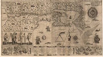
A map showing the various counties and duchies of France at the end of the 12th century.
.png)
Related Images

Map of Jeanne d'Arc's Route & The Hundred Years' War c. 1429

Map of the First Three Crusades & the 12th-Century Outremer
Map of New France, 1612 CE

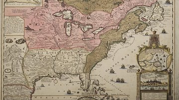
Map of New France, 1750 CE
Map of New France

Map of Ancient Egypt
Cite This Work
APA Style
ZiguenerAlt. (2025, July 24). Map of 12th-Century France. World History Encyclopedia. https://www.worldhistory.org/image/20712/map-of-12th-century-france/
Chicago Style
ZiguenerAlt. "Map of 12th-Century France." World History Encyclopedia, July 24, 2025. https://www.worldhistory.org/image/20712/map-of-12th-century-france/.
MLA Style
ZiguenerAlt. "Map of 12th-Century France." World History Encyclopedia, 24 Jul 2025, https://www.worldhistory.org/image/20712/map-of-12th-century-france/.