
3 days left
Server Costs Fundraiser 2026
It costs $20,000 a year to run our servers, and we need your help to pay for them!
$15073 / $20000


A map produced in 1719 showing New France. The pink area marks the territory of Canada.
#/media/File:La_Nouvelle-France.jpg)
Related Images
Image
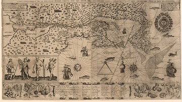
Map of New France, 1612 CE
Map of New France 1612 CE by Samuel de Champlain (1567?-1635 CE...

Image
Map of New France, 1750 CE
A map of New France c. 1750 CE within the context of European colonies...
Image
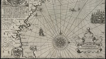
Map of New England
Map of New England by Captain John Smith Printed by Geor. Low...
Image
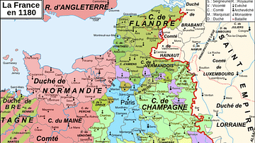
Map of 12th-Century France
A map showing the various counties and duchies of France at the...
Image
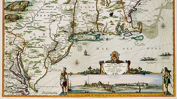
New Netherland Map
A map of New Netherland published by Nicolaes Visscher II (1649–1702...

Image
Map of France, 10th Century CE
A map of France in the 10th century CE.
Cite This Work
APA Style
Fer, N. d. (2021, August 23). Map of New France. World History Encyclopedia. https://www.worldhistory.org/image/14479/map-of-new-france/
Chicago Style
Fer, Nicolas de. "Map of New France." World History Encyclopedia, August 23, 2021. https://www.worldhistory.org/image/14479/map-of-new-france/.
MLA Style
Fer, Nicolas de. "Map of New France." World History Encyclopedia, 23 Aug 2021, https://www.worldhistory.org/image/14479/map-of-new-france/.