
Server Costs Fundraiser 2026


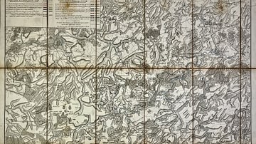
This topographic and military map was created to support the understanding of the Battle of Stockach, won by Archduke Charles in 1799, as well as the Battles of Engen and Moskirch, won by the Army of the Rhine in 1800. It presents in detail the positions of French and Austrian forces across these engagements. The map was drawn by A. L. J. Baratte. Source: Votre Carte Ancienne – antique maps of Germany.
About the Author

Related Images
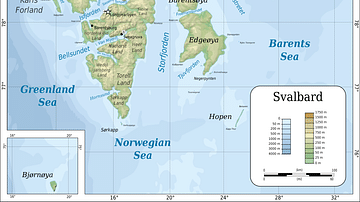
Topographic map of Svalbard
Military Map of the Course of the Sambre - Campaigns and Army Positions, 1792 to 1794

Battle of Guilford Court House, Battle Map

Map of Odysseus’ 10-year Journey Home
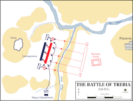
Map of the Battle of Trebia

Battle of Brandywine Map
Cite This Work
APA Style
Denis, L. (2025, May 23). Topographic and Military Map of Stockach and Engen: French and Austrian Positions, 1799–1800. World History Encyclopedia. https://www.worldhistory.org/image/20476/topographic-and-military-map-of-stockach-and-engen/
Chicago Style
Denis, Léopold. "Topographic and Military Map of Stockach and Engen: French and Austrian Positions, 1799–1800." World History Encyclopedia, May 23, 2025. https://www.worldhistory.org/image/20476/topographic-and-military-map-of-stockach-and-engen/.
MLA Style
Denis, Léopold. "Topographic and Military Map of Stockach and Engen: French and Austrian Positions, 1799–1800." World History Encyclopedia, 23 May 2025, https://www.worldhistory.org/image/20476/topographic-and-military-map-of-stockach-and-engen/.