


Political map of Italy near the arrival of the Normans, who eventually conquered Southern Italy and Sicily, including the principalities of Salerno, Capua, and Benevento.
Related Images
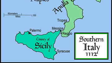
Southern Italy & Sicily, 1112

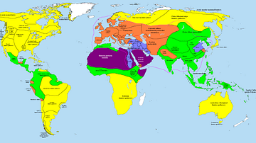
Map of the World Known to Europeans in 1000 CE

Map of the Levant circa 830 BCE
Map of the World in 1000 BCE

Map of Christian Pilgrimage in the Middle Ages, c. 1000
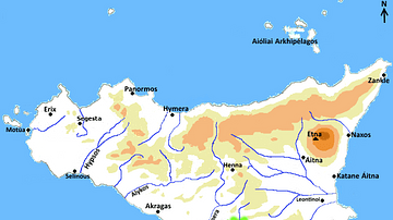
Map of Greek Sicily, 5th Century BCE
Cite This Work
APA Style
MapMaster. (2023, June 05). Political Map of Italy circa 1000 CE. World History Encyclopedia. https://www.worldhistory.org/image/17498/political-map-of-italy-circa-1000-ce/
Chicago Style
MapMaster. "Political Map of Italy circa 1000 CE." World History Encyclopedia, June 05, 2023. https://www.worldhistory.org/image/17498/political-map-of-italy-circa-1000-ce/.
MLA Style
MapMaster. "Political Map of Italy circa 1000 CE." World History Encyclopedia, 05 Jun 2023, https://www.worldhistory.org/image/17498/political-map-of-italy-circa-1000-ce/.