


This map illustrates the battlefield of the Trojan War, as described in Homer’s Iliad and reconstructed through modern geological studies. Around 1200 BCE, the coastline near Troy looked very different, with the Aegean Sea reaching further inland. The Scamandrian Plain, rivers, and landmarks match epic descriptions with striking accuracy.
The map highlights key locations from both legend and archaeology, including the fortified city of Troy, the Greek encampment near the coast, and the major rivers Scamander and Simoeis. Nearby features such as the Wall of Nestor, the Achilleion, and tombs attributed to ancient heroes align with epic geography. Sediment and geomorphological analyses have confirmed the ancient positions of key landmarks, such as the Bay of Troy and the river fords where major battles were said to occur
About the Author

Related Images

Map of the World of the Iliad, c. 1200 BCE

Map of the Trojan War States, c. 1200 BCE
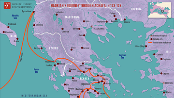
Hadrian's Journey through Achaea, 123-125

Map of the Hellenic Leagues and Hegemonies, 4th century BCE

Map of the Late Bronze Age Collapse c. 1200 - 1150 BCE

Aegean Bronze Age Civilizations, c. 2000 - 1100 BCE
Cite This Work
APA Style
Netchev, S. (2022, February 11). Map of the Trojan Plain c. 1200 BCE. World History Encyclopedia. https://www.worldhistory.org/image/15243/map-of-the-trojan-plain-c-1200-bce/
Chicago Style
Netchev, Simeon. "Map of the Trojan Plain c. 1200 BCE." World History Encyclopedia, February 11, 2022. https://www.worldhistory.org/image/15243/map-of-the-trojan-plain-c-1200-bce/.
MLA Style
Netchev, Simeon. "Map of the Trojan Plain c. 1200 BCE." World History Encyclopedia, 11 Feb 2022, https://www.worldhistory.org/image/15243/map-of-the-trojan-plain-c-1200-bce/.