


With the accession of Clovis, son of Childeric I of the Salian Franks, the Germanic occupiers of north-eastern Gaul had found a king who would change their fortunes out of all recognition. Rather than follow his father's policy of allying himself with the Roman domain of Soissons and trying to preserve some kind of peace in Gaul, Clovis pursued a highly aggressive policy of expansion. He united the two main branches of the Franks, the Salians on the west bank of the Rhine and the Ripuarians on the east bank, and converted them all to Christianity in AD 497. Between then and 509 he also took steps to eliminate his rival Frankish kings, killing them and annexing their territory. In 486 he conquered the Roman domain of Soissons, opening up western and central Gaul and allowing him to move the Frankish capital to the small town of Paris. The Alemanni were narrowly conquered in 496. In 507 the Visigoth kingdom of Toulouse, which encompassed all of southern and central Gaul, was defeated and the Visigoths forced to retreat into Spain. The Auvergne was secured, but although Clovis also claimed Aquitaine, the region remained disputed for quite some time afterwards. A rare defeat came in 510, when an Ostrogoth success at Narbonne forced Clovis away from the Mediterranean coast. The Franks quickly became the dominant Germanic tribal grouping in Gaul under Clovis, laying the foundations for further expansion south and eastwards under subsequent Merovingian and Carolingian kings.
Related Images

Map of the Frankish Kingdoms AD 511

Map of Roman Gaul from Conquest to Integration, c. 200 CE - Provincial Order and Frontier Power in the Roman West

Map of Gaul

Map of the Rise and Expansion of the Merovingians, c. 639
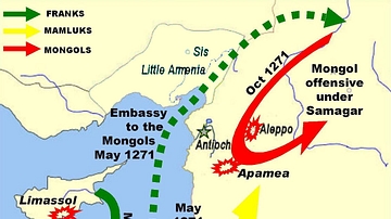
Mamluk, Frankish and Mongol Movement in 1271-2 CE

Map of the Hellenistic Kingdoms after Alexander, c.301 BCE
Cite This Work
APA Style
Kessler, P. (2013, August 14). Map of the Frankish Kingdoms AD 481-511. World History Encyclopedia. https://www.worldhistory.org/image/1386/map-of-the-frankish-kingdoms-ad-481-511/
Chicago Style
Kessler, Peter. "Map of the Frankish Kingdoms AD 481-511." World History Encyclopedia, August 14, 2013. https://www.worldhistory.org/image/1386/map-of-the-frankish-kingdoms-ad-481-511/.
MLA Style
Kessler, Peter. "Map of the Frankish Kingdoms AD 481-511." World History Encyclopedia, 14 Aug 2013, https://www.worldhistory.org/image/1386/map-of-the-frankish-kingdoms-ad-481-511/.