


A map depicting the divisions of the Islamic Empire during the second Islamic civil war - the Second Fitna. The dominions of the Umayyads, Zubayrids, Kharjites, Al Mukhtar and those regained by the Byzantines are shaded in colors as indicated by the key.
Related Images

Map of the Islamic Conquests in the 7th-9th Centuries

Map of the First Fitna
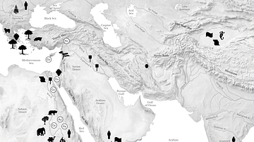
Resource Map of the Ancient Middle East

Map of the ancient Near East during the Amarna Period

Map of the Silk Road During the Late 8th Century

Territories During the Second Punic War
Cite This Work
APA Style
son, A. A. (2020, January 07). Map of the Middle East during the Second Fitna (c. 686 CE). World History Encyclopedia. https://www.worldhistory.org/image/11657/map-of-the-middle-east-during-the-second-fitna-c-6/
Chicago Style
son, Al Ameer. "Map of the Middle East during the Second Fitna (c. 686 CE)." World History Encyclopedia, January 07, 2020. https://www.worldhistory.org/image/11657/map-of-the-middle-east-during-the-second-fitna-c-6/.
MLA Style
son, Al Ameer. "Map of the Middle East during the Second Fitna (c. 686 CE)." World History Encyclopedia, 07 Jan 2020, https://www.worldhistory.org/image/11657/map-of-the-middle-east-during-the-second-fitna-c-6/.