
Server Costs Fundraiser 2026


Map of the conflict between Caliph Ali (r. 656-661 CE) and Muawiyah I (r. 661 – 680 CE) during the First Fitna (656 – 661 CE), a civil war within the Rashidun Caliphate. The area shaded in green represents the territories of the Caliphate under Ali's control c. 658; the area in shaded in pink represents Muawiyah I's domains. Major battles, raids, and campaign routes are shown.
Related Images

Map of the Rashidun Caliphate

Rashidun Caliphate Under Caliph Abu Bakr

Map of the Middle East during the Second Fitna (c. 686 CE)

Expansion of the Fatimid Caliphate

Map of the Islamic Conquests in the 7th-9th Centuries
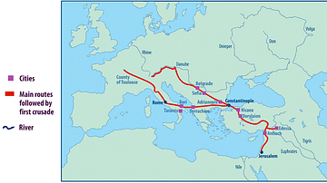
Map of the First Crusade Routes
Cite This Work
APA Style
son, A. A. (2019, December 14). Map of the First Fitna. World History Encyclopedia. https://www.worldhistory.org/image/11594/map-of-the-first-fitna/
Chicago Style
son, Al Ameer. "Map of the First Fitna." World History Encyclopedia, December 14, 2019. https://www.worldhistory.org/image/11594/map-of-the-first-fitna/.
MLA Style
son, Al Ameer. "Map of the First Fitna." World History Encyclopedia, 14 Dec 2019, https://www.worldhistory.org/image/11594/map-of-the-first-fitna/.