
Illustration
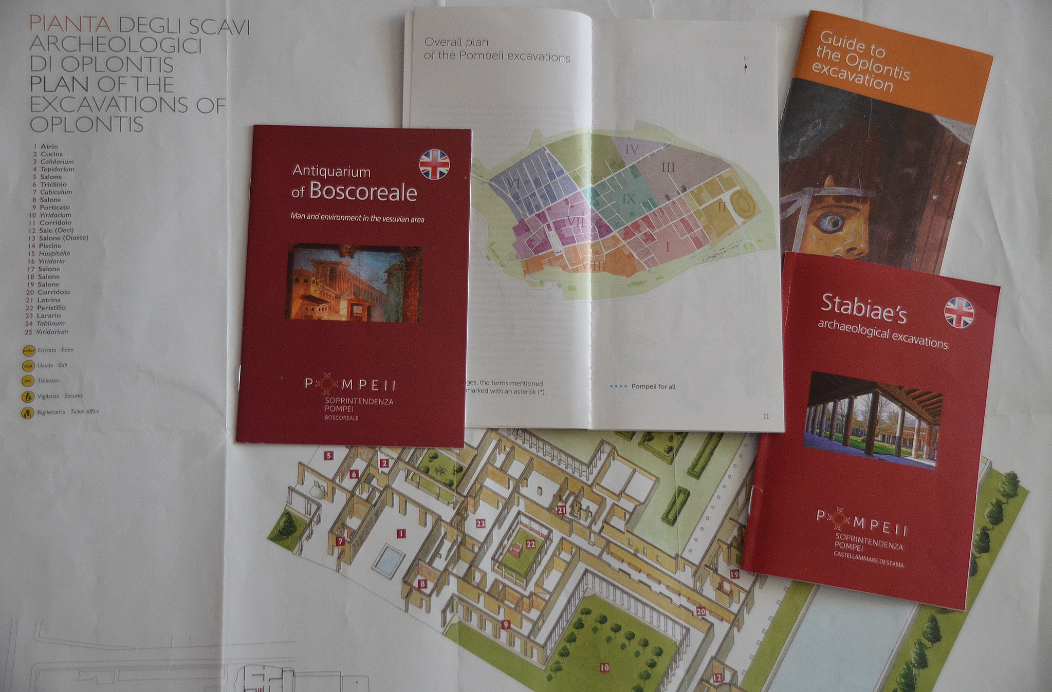
These official guides and maps of Pompeii and neighbouring sites are essentials items for visiting the archaeological sites independently.
About the Author

Related Images
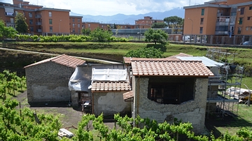
Villa Regina, Boscoreale
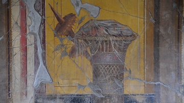
Fresco with Basket of Fruit, Oplontis Villa Poppaea

Fresco with Theatre Mask and Peacock, Oplontis Villa Poppaea
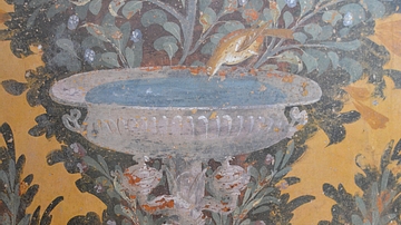
Garden Fresco in the Oplontis Villa Poppaea
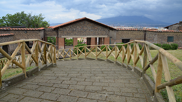
Entrance to Villa Arianna in Stabiae
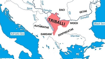
Map of Triballian Territory
Cite This Work
APA Style
Raddato, C. (2019, September 22). Official Guides & Maps of Pompeii, Boscoreale, Oplontis and Stabiae. World History Encyclopedia. Retrieved from https://www.worldhistory.org/image/11247/official-guides--maps-of-pompeii-boscoreale-oplont/
Chicago Style
Raddato, Carole. "Official Guides & Maps of Pompeii, Boscoreale, Oplontis and Stabiae." World History Encyclopedia. Last modified September 22, 2019. https://www.worldhistory.org/image/11247/official-guides--maps-of-pompeii-boscoreale-oplont/.
MLA Style
Raddato, Carole. "Official Guides & Maps of Pompeii, Boscoreale, Oplontis and Stabiae." World History Encyclopedia. World History Encyclopedia, 22 Sep 2019. Web. 26 Apr 2024.