
Search
Remove Ads
Advertisement
Search Results

Image
Map of the Siege of Leningrad
A map showing the Siege of Leningrad (Saint Petersburg) during Operation Barbarossa, the invasion of the USSR launched by the leader of Nazi Germany Adolf Hitler (1889-1945) in the Second World War (1939-45). The siege...

Image
Seven Kings Laying Siege to Kushinagara
Architrave of seven kings laying siege to Kushinagara, photograph by Biswarup Ganguly, 2013. Located in Sanchi, Madhya Pradesh, India, at the Sanchi Stupa Buddhist complex, this architrave depicts seven kings...

Image
The 'Dictator' Siege Mortar at Petersburg
A siege mortar nicknamed the "Dictator," used by the Union army during the Siege of Petersburg in the American Civil War, photograph in The Photographic History of The Civil War in Ten Volumes: Volume Three...
Article
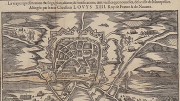
Montpellier during the French Reformation
At the dawn of the French Wars of Religion (1562-1598), Montpellier in southern France had a significant Protestant minority that controlled the city's institutions. The Edict of Nantes in 1598 ended the wars...

Image
17th-Century Siege Artillery Tactics
An early 17th-century illustration by Johann Jacob von Wallhausen showing the tactics of batteries of siege artillery to fire upon a specific point in the defensive fortifications.

Image
Siege Warfare
An artist's rendition of what a siege attack may have looked like in the ancient world.

Image
Storming of Redoubt 10 During the Siege of Yorktown
The Americans storm the British position at redoubt 10 during the Siege of Yorktown (28 September to 19 October 1781). By Eugène Lami, 1840.
Image
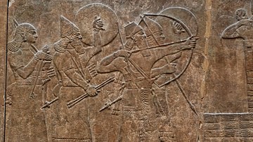
Assyrian Siege
This Assyrian relief from the North-West Palace in Kalhu (c. 865-860 BCE) shows King Ashurnasirpal advancing on an enemy city, protected by a shield-bearer. Ahead is a wheeled siege engine, which carries more archers and contains...
Image
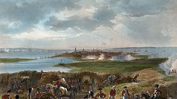
Siege of Charleston
Siege of Charleston, South Carolina (29 March to 12 May 1780) during the American Revolutionary War, painting by Alonzo Chappel, 1862.
Brown University, Providence.

Image
Map of the Siege of Savannah
Map depicting the Siege of Savannah, 16 September to 20 October 1779. Illustration from page 171 of the book British Battles on Land and Sea Vol. 2, by James Grant, London, 1873.
