
Search
Remove Ads
Advertisement

 This answer was generated by
 Search Results

Image
Via Appia
The Via Appia near the Villa dei Quintili at mile V (Rome).

Image
Via Appia at Terracina
A stretch of the Via Appia in the Forum Aemilianum of Tarracina (Terracina, Italy).
Image
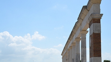
Via Appia at Minturnae
A stretch of the Via Appia passing through the ancient city of Minturnae (Minturno, Italy).
Image
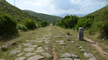
Via Appia, Kilometer 126
A stretch of the Via Appia at Sant'Andrea, km 126. Here it is still possible to admire the original flint-stones, thanks to their restoration during the Bourbon age and now protected by the Natural Park Monti Aurunci Authority.
Article
Visitor’s Guide to Carsulae (San Damiano)
Carsulae in Umbria, central Italy, was founded c. 300 BCE and only became a prosperous urban centre after it was connected by the Via Flaminia towards the end of the 3rd century BCE. It was granted the status of municipium and acquired a...
Image
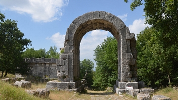
Via Flaminia at Carsulae
The Via Flaminia was constructed for military purposes by Gaius Flaminius in 220 BCE. It went through the ancient town of Carsulae (Umbria, Italy) and became its main road (cardo maximus) of which 400 metres are still visible. The so-called...
Image
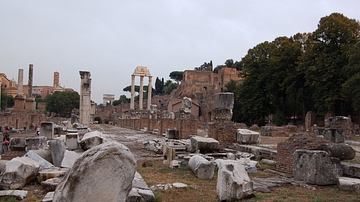
Via Sacra
Rubble strewn Via Sacra near the Rostra. On right side can be seen the remains of the Basilica Julia & off in the distance the three famous columns of the remain's of the Temple of Castor & Pollux
Image
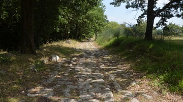
Via Flaminia at Carsulae, Italy
The Via Flaminia is the second oldest Roman road after Rome’s Via Appia. It was a consular road, funded by the state, and built c. 220 BCE to link Rome with the northern coastal city of Ariminum (Rimini) over the Apennine Mountains. The Via...
Image
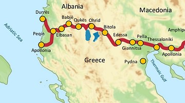
Via Egnatia, 146 BCE to c. 1200 CE
Via Egnatia was a major Roman road in the Balkans, stretching 1,120 kilometers (696 miles) from the Adriatic Sea in the west to the Black Sea and the Sea of Marmara in the east. The western terminus is slightly uncertain, often marked in...
Image
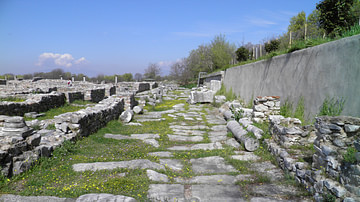
Via Egnatia in Philippi
A stretch of the Via Egnatia in Philippi (Greece). The Via Egnatia crossed the Roman provinces of Illyricum, Macedonia, and Thrace, running through territory that is now part of modern Albania, the Republic of Macedonia, Greece, and European...
