
Search
Remove Ads
Advertisement
Search Results
Image
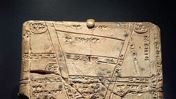
Babylonian Clay Map from Nippur
A Babylonian cuneiform tablet with a map of the fields, towns and palaces around Nippur. Kassite Period, 1550-1450 BCE. Nippur, Iraq.
Image
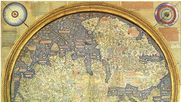
Fra Mauro Map
The "Fra Mauro Map" is one of the most accurate surviving Medieval maps, and depicts Asia, Africa and Europe with a high level of accuracy. Made by Fra Mauro in Venice, c. 1450. (Museo Correr, Venice)
Image
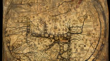
Hereford Mappa Mundi
The Hereford Mappa Mundi is a world map dating to c. 1300. It is the largest surviving Medieval map, and is based on earlier maps including the 8th Century Beatus Map. The map is attributed to "Richard of Haldingham and Lafford", also known...
Image
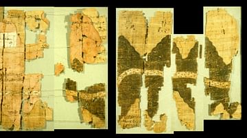
Turin Papyrus Map
The Turin Papyrus Map is an ancient Egyptian map of gold mines in the Eastern Desert. It is considered to be one of the oldest surviving topographical maps. Made c. 1150 BCE by Scribe-of-the-Tomb Amennakhte, son of Ipuy. (Turin Museum)
Image
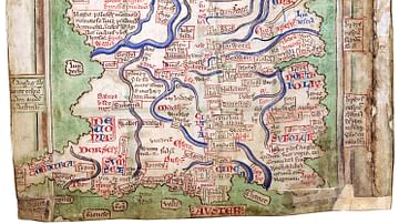
Matthew Paris' Map of Britain
Map of Great Britain by Matthew Paris (c. 1199-1259), made c. 1250. From the manuscript Epitome of Chronicles, BL Cotton MS Claudius D VI, fol. 12v. (British Library)
Image
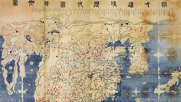
Gangnido
The Gangnido (or Kangnido) is a world map created in Korea in 1402. This version of the map was created in Japan during the Edo Period, and differs from the original. It is called the Honkōji copy, after the Honkōji temple it was discovered...
Image
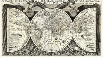
Kepler's Map of the World
A map of the world according to Johannes Kepler (1571-1630) and published in his Rudolphine Tables in 1627. (web.archive.org)

Image
Magnetic Sea Chart by Halley
A detail of a chart showing lines of magnetic compass variation made in 1702 by the English scientist and cartographer Edmond Halley (1656-1742). Halley hoped the chart would aid navigation but the variations in magnetism over time made it...

Image
Peutinger Table segments I and II
Segments I and II of the Tabula Peutingeriana, an ancient Roman map showing the road network of the Roman Empire. Published in 1657 by Jan Janssonius (1588-1664) as part of his historical atlas.

Image
Map of Livingstone's Expeditions
An 1873 map showing the various expeditions in Africa undertaken by the Scottish missionary and explorer David Livingstone (1813-73) from 1851 until his death.
Gutenburg Project
