
Server Costs Fundraiser 2026


Segments I and II of the Tabula Peutingeriana, an ancient Roman map showing the road network of the Roman Empire. Published in 1657 by Jan Janssonius (1588-1664) as part of his historical atlas.
License & Copyright
![]() This content is provided by Oculi Mundi under a content sharing agreement. Original image by Oculi Mundi. Uploaded by Oculi Mundi, published on 26 August 2025. The copyright holder has published this content under the following license: Creative Commons Attribution-NoDerivs. This license allows for redistribution, commercial and non-commercial, as long as it is passed along unchanged and in whole, with credit to you. When republishing on the web a hyperlink back to the original content source URL must be included. Please note that content linked from this page may have different licensing terms.
This content is provided by Oculi Mundi under a content sharing agreement. Original image by Oculi Mundi. Uploaded by Oculi Mundi, published on 26 August 2025. The copyright holder has published this content under the following license: Creative Commons Attribution-NoDerivs. This license allows for redistribution, commercial and non-commercial, as long as it is passed along unchanged and in whole, with credit to you. When republishing on the web a hyperlink back to the original content source URL must be included. Please note that content linked from this page may have different licensing terms.
For commercial licensing enquiries, please contact our licensing agency Wright's Media.
Related Images

King Arthur's Round Table, Winchester Castle

Knights of the Round Table Begin Search for the Holy Grail
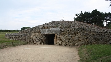
Table-des-Marchands Tumulus, Locmariaquer

Knights of the Round Table
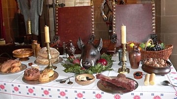
Medieval Dinner Table
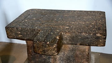
Offering Table of Nesptah
Cite This Work
APA Style
Mundi, O. (2025, August 26). Peutinger Table segments I and II. World History Encyclopedia. https://www.worldhistory.org/image/20081/peutinger-table-segments-i-and-ii/
Chicago Style
Mundi, Oculi. "Peutinger Table segments I and II." World History Encyclopedia, August 26, 2025. https://www.worldhistory.org/image/20081/peutinger-table-segments-i-and-ii/.
MLA Style
Mundi, Oculi. "Peutinger Table segments I and II." World History Encyclopedia, 26 Aug 2025, https://www.worldhistory.org/image/20081/peutinger-table-segments-i-and-ii/.